Coast Mountain Cycle Tour Loop, British Columbia, Canada
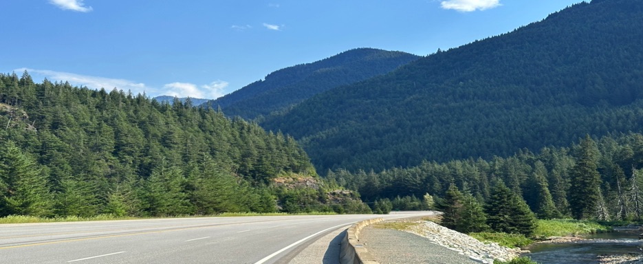
An Epic Loop from Vancouver through the Coast Mountains: Untamed Nature, Timeless History, and the Magic of Riding Where the Horizon Seems Endless
Five days, 630 kilometers (393 miles), a route that traverses some of British Columbia’s most spectacular landscapes. The Coast Mountain Cycle Tour Loop is more than a cycling itinerary: it’s a full immersion into the wild beauty and history of this extraordinary region of western Canada.
The journey starts and ends in Vancouver, but just a few kilometers in, the horizon transforms. The road skirts the dramatic Howe Sound, a glacial fjord shimmering under the sun, where cliffs plunge into turquoise waters and scattered islands dot the view. From here, the route winds through Squamish, Canada’s climbing capital, then ascends to the renowned alpine town of Whistler and the valleys of Pemberton.
Beyond the mountain passes, landscapes constantly change: temperate rainforests, deep canyons, cascading waterfalls, lakes reflecting snow-capped peaks, and distant glaciers glinting on the horizon. Wildlife is a constant presence: deer, eagles, and other denizens of the wilderness accompany the ride, turning every kilometer into a full sensory experience.
The route is not just a tribute to nature but also to history. Riders traverse the ancestral lands of First Nations peoples, following ancient trails once traveled by gold seekers into the interior, alongside the rushing Thompson and Fraser Rivers. Every valley holds stories of ancient cultures and pioneers who shaped the identity of these remote lands.
Finally, the return to Vancouver along the scenic Highway 7 (Lougheed Highway) delivers a final embrace of the Fraser Valley: a palette of rivers, forests, and mountains flowing in harmony, as if bidding the traveler farewell before the finish.
The Coast Mountain Cycle Tour Loop is a journey that combines athletic challenge, breathtaking scenery, and a trip through time, perfect for anyone seeking a truly authentic and complete experience in the heart of British Columbia.
Route Description:
• Start/Finish: Vancouver, British Columbia, Canada
• Route Type: Clockwise Loop
• Distance & Duration: 630 km over 5 days
• Tour Map 📍: Map
The loop begins and ends in Vancouver, taking cyclists through the dramatic landscapes of the Coast Mountains. Key highlights include Squamish, Whistler, Pemberton, Lillooet, Lytton, and Hope. Riders traverse glacial fjords, alpine valleys, rushing rivers, and dense forests, alongside historic towns and First Nations territories. This route blends challenging climbs, scenic descents, and diverse ecosystems, offering a complete adventure through the wild beauty of British Columbia.
THE ITINERARY – STAGE BY STAGE
Day 1: Vancouver → Whistler
• Distance: 128.62 km (≈79.9 miles)
• Riding time: 9:03:06
• Overnight stay: we pitched our tent at Riverside at A Parkbridge Camping & RV Resort
We departed Vancouver, eager to leave the city behind and pedal toward the horizon. The Lions Gate Bridge offers shared bike and pedestrian paths, separated by one-way lanes on the east and west sides. We took the east side, heading north, and were immediately greeted with breathtaking views: Vancouver’s skyline stretched behind us, crowned by the verdant expanse of Stanley Park, while ahead, West Vancouver unfolded against a backdrop of mountains and the sunlit, shimmering ocean.
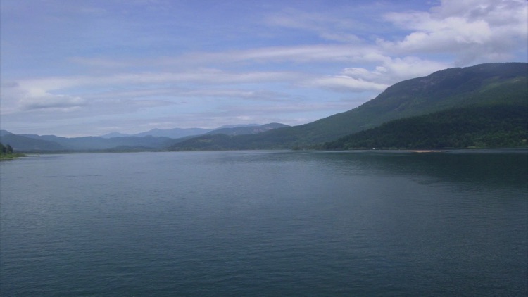
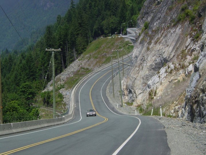
As we followed the Sea-to-Sky Highway, we were immersed in extraordinary natural beauty. The deep waters of Howe Sound, known in the Coast Salish tradition by its original name, spread out beside us—a network of fjords northwest of Vancouver, extending northeast to the city of Squamish. Cycling north along the famous Highway 99, through Whistler and Pemberton, we navigated a road that, while busy, still allowed room for bicycles.
The terrain was steep, winding, and mountainous, each turn revealing a new postcard-worthy scene: the deep, sparkling waters of Howe Sound dotted with countless islands, dense green forests, majestic peaks, and glacially sculpted landscapes. Every view seemed more stunning than the last.
Beyond its natural wonders, the route offers numerous attractions along the Highway 99 corridor. We passed the village of Horseshoe Bay, the western gateway to Howe Sound and home to the BC Ferries terminal, offering a quaint mix of charm and maritime activity. Continuing north along the eastern shore of Howe Sound, we cycled past Porteau Cove Provincial Park, famous not only for its scenic beauty but also for the scuba diving buoys that attract divers to artificial reefs and sunken ships.
Moving from Murrin Provincial Park to the quiet, calm Browning Lake, we saw people swimming and picnicking, while the granite walls offered various climbing and bouldering opportunities. South of Squamish, the picturesque Britannia Beach is home to the British Columbia Mining Museum, which in 1929 was the largest copper producer in North America.
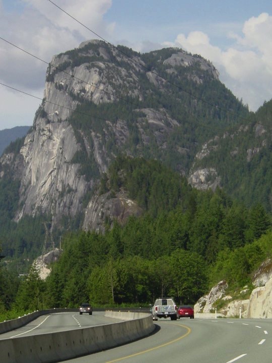
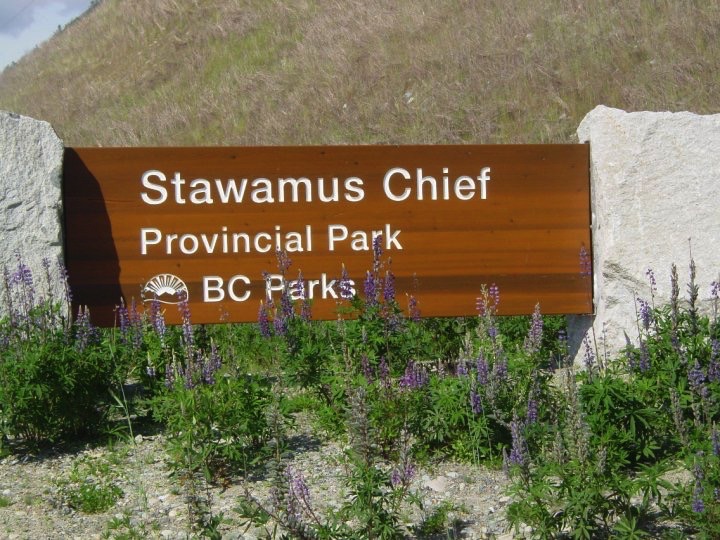
Continuing north, Shannon Falls Provincial Park, the third-highest waterfall in British Columbia, features the Sea to Sky Gondola, gliding between steel cables and reaching the panoramic summit 885 meters above sea level in just ten minutes. Hiking trails extend from the summit, offering spectacular views. Nearby, the Stawamus Chief, a massive granite monolith, is a popular hiking and climbing destination, providing breathtaking vistas of the surrounding mountains and fjords.
The small town of Squamish is renowned as Canada’s outdoor recreation capital. The Squamish Lil’wat Cultural Centre offers exhibitions on the Squamish & Lil’wat Nation, alongside cultural events and guided hikes, including Stawamus Chief. North of Squamish, Alice Lake Provincial Park is a popular camping area surrounded by mountains and dense forests, with a magnificent network of hiking trails. The small community of Brackendale and Brackendale Eagles Provincial Park, located along the Squamish River, host one of the largest populations of bald eagles in North America.
As we approached Whistler in the fading light, the edge of the forest was shrouded in shadow, despite the lights on our bikes. I rode ahead, my friend about twenty meters behind, both of us on the same trail.
Then, without warning, a bear emerged from the thick bushes, intent on crossing. In the silence, it hadn't noticed me, and I hadn't noticed it, until my friend, sensing the movement, called out, "There's a bear in the bushes!" His voice broke the silence, startling the bear. With a sudden crack of branches, it seemed to materialize out of nowhere.
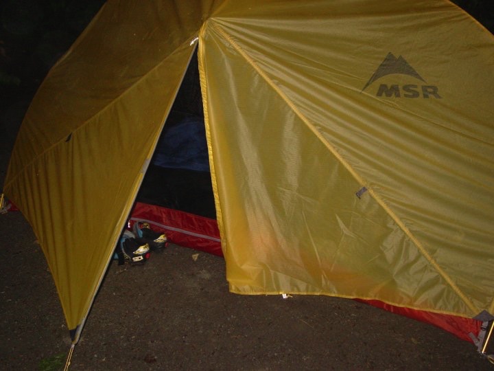
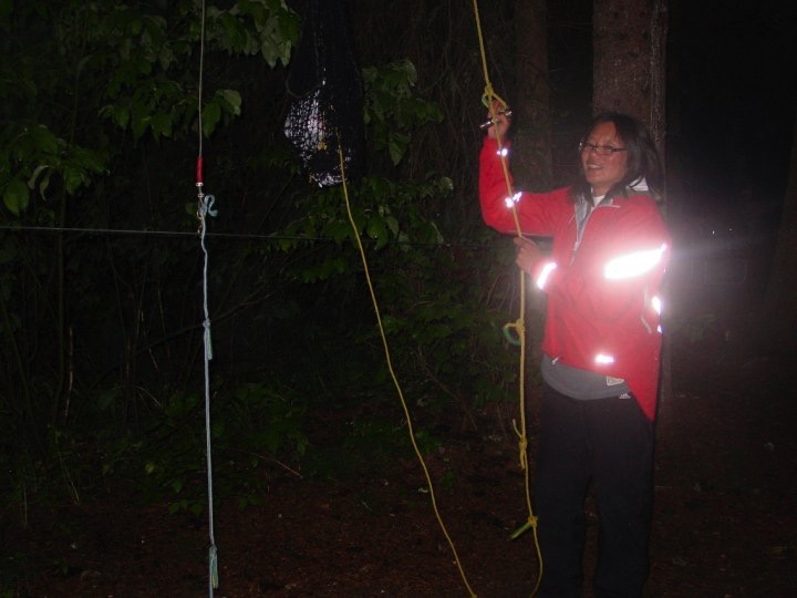
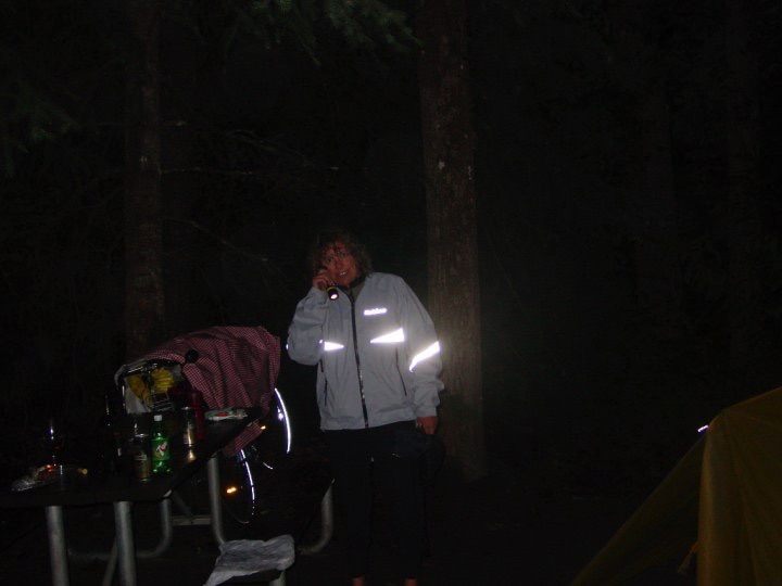
We arrived in the resort town of Whistler, an all-season adventure destination in the Coast Mountains of British Columbia, known for its world-class ski resorts, mountain biking trails, and vibrant village atmosphere. After an intense day of breathtaking scenery and thrilling encounters with wildlife, we pitched our tent at Riverside at A Parkbridge Camping & RV Resort, ready to rest and recharge for the next day.
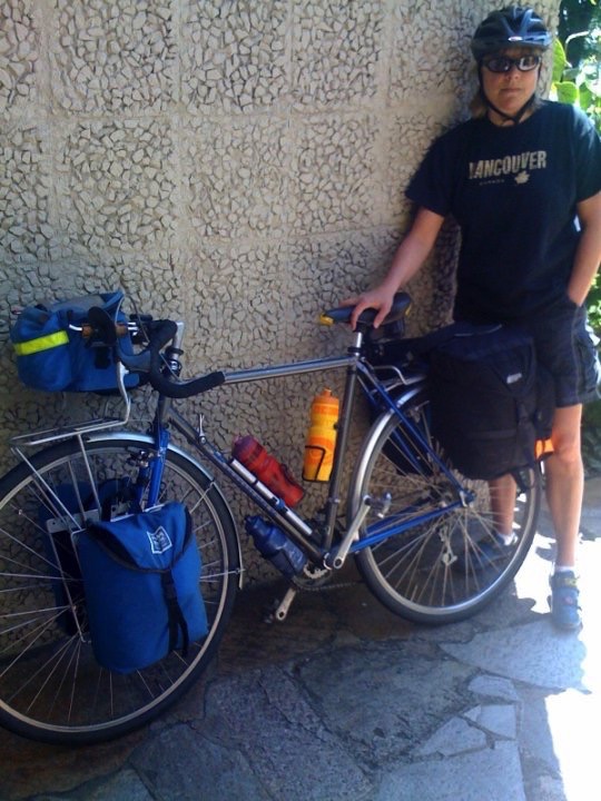
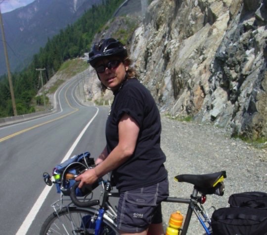
Click the photo to enlarge and dive into the adventure.
Day 2: Whistler → Lillooet
• Distance: 140 km (≈87 miles)
• Riding time: 10 hours 30 minutes
• Overnight stay: Reynolds Hotel
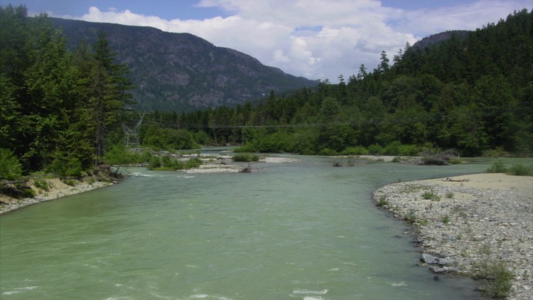
This morning we took down our tent and packed up our campsite, loaded our bags onto the bikes, and headed into the village of Whistler. Leaving the village, we pedaled north along the Sea-to-Sky Highway toward Pemberton. On our right, Green Lake stretched out in stunning turquoise, a jewel tucked among the mountains. Soon, we descended past One Mile Lake, its calm waters reflecting the surrounding peaks, before tackling the notorious “Suicide Hill.”
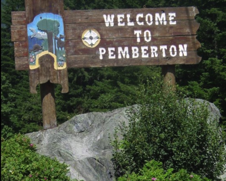
After the road flattened, we reached Pemberton, nestled in a fertile valley surrounded by the majestic Coastal Mountains. Nearby, Mount Currie is home to a small First Nations community with deep roots in the region, and the area is laced with hiking trails inviting exploration.
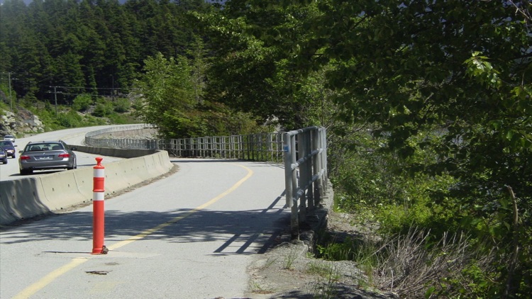
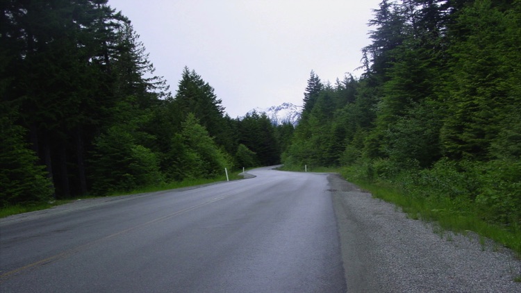
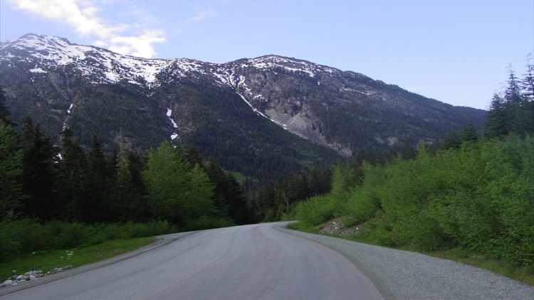
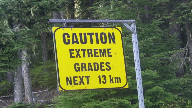
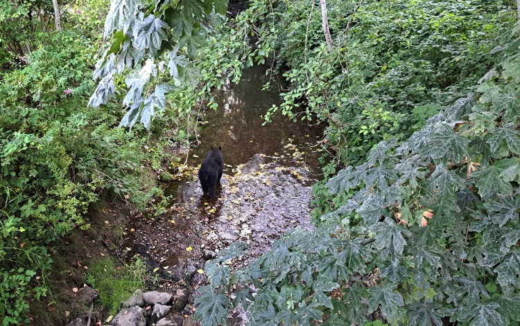
From the Pemberton Valley, we continued north on Highway 99 through Duffy Lake Provincial Park, a serene and less-traveled stretch of road. The route was a rollercoaster of steep grades, hairpin bends, and sweeping curves, winding through untouched wilderness and offering breathtaking views at every turn. Along the way, we spotted a bear at the edge of the road, a quiet reminder of the wildness surrounding us. Cellular coverage was nearly nonexistent.
Eventually, we arrived in Lillooet, a historic town perched on the west shore of the Fraser River, just north of the Seton River’s mouth. Surrounded by towering mountains, Lillooet is rich in history: it has been home to the St’át’imc Nationfor over 8,000 years and was a key hub during the Gold Rush. Here begins the original Mile 0 of the Cariboo Wagon Road, which leads to Barkerville. Today, it’s a charming town ideal for hiking, skiing, and lakeside camping.
What can I say about this day of riding? It was a balcony of natural landscapes, full of diverse sights, but also one of the most physically demanding days of the tour. Our legs worked hard for hours, yet the effort was rewarded with countless beautiful moments along the way. With almost no cell signal, every view and every encounter with nature felt even more intense and authentic.
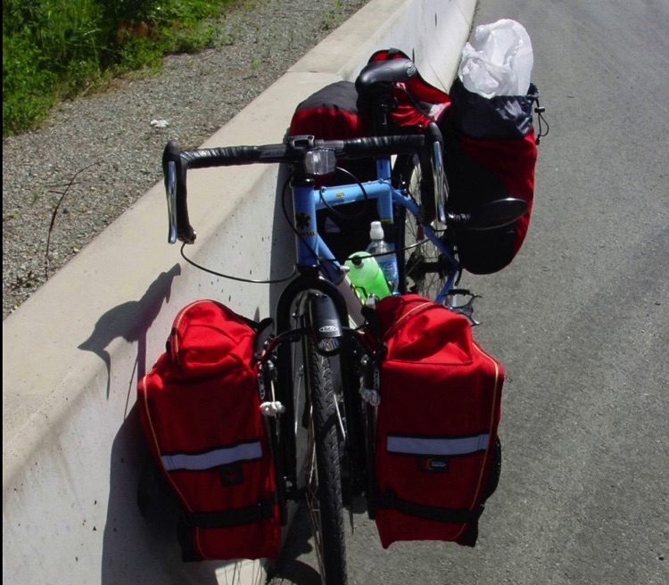
After many hours of riding on challenging terrain, we finally reached Lillooet and settled in for the night, sleeping at the Reynolds Hotel. For my friend, this was her first bike touring trip, an intense and unforgettable experience from the very first pedal stroke.
Click the photo to enlarge and dive into the adventure.
Day 3: Lillooet → Lytton
• Distance: 118 km (≈73 miles)
• Riding time: 6 hours 30 minutes
• Overnight stay: Hotel Lytton
We left the hotel in Lillooet under hot, dry weather with little wind. For miles, we pedaled through scorching heat, until a strong headwind picked up, gusting around 30 km/h. Despite the challenge, the ride was truly remarkable!
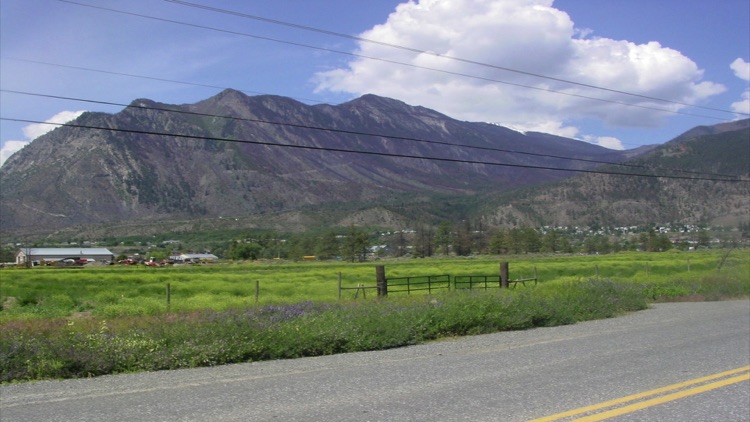
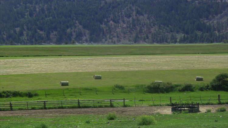
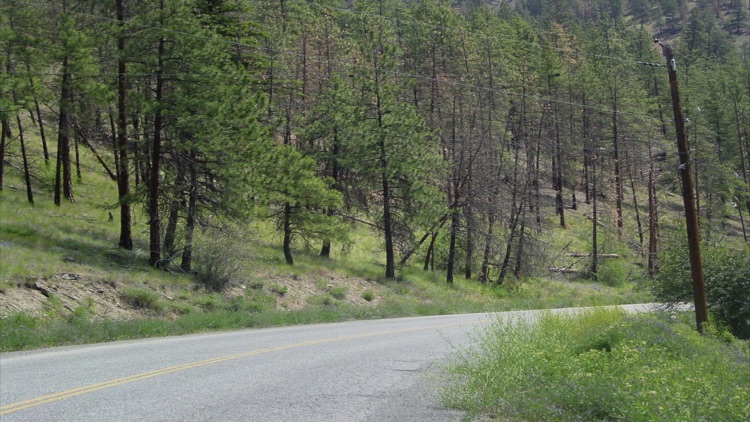
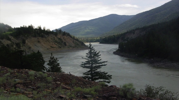
Lytton, perched on the east bank of the Fraser River, is one of Canada’s hottest spots, with desert-like landscapes, and is known as the country’s rafting capital. The climate here can swing between extremes, sometimes causing wildfires traces of which we unfortunately saw along the route. The area is also steeped in history, with First Nations heritage and remnants of the historic Gold Rush scattered throughout.
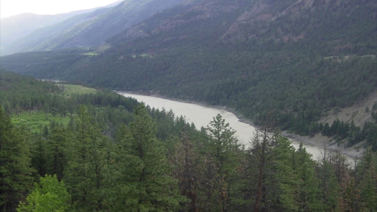
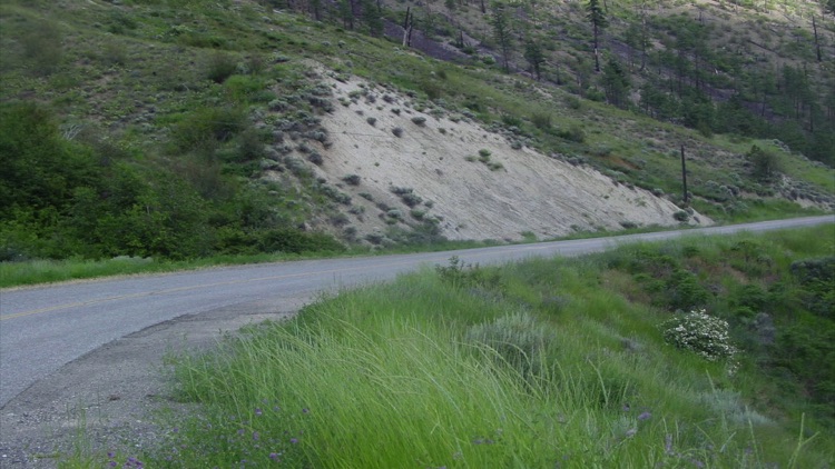
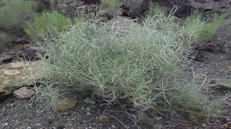
The route itself was spectacular and surprisingly smooth, running alongside the Fraser River. It twisted and turned through steep, forested mountains, crossed deep canyons, and skirted endless desert horizons, offering breathtaking views of both rugged terrain and wide prairie expanses. Dry vegetation, including sagebrush-covered hills, lined the slopes, though many trees bore scars from recent fires.
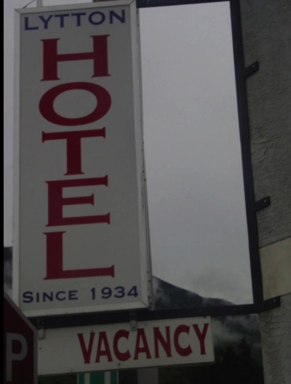
By the afternoon, we arrived in Lytton, taking in the striking landscapes and reflecting on a journey that, while physically demanding and windy, had been deeply rewarding. We rested for the night at the Hotel Lytton, recharging for the next leg of our adventure.
Click the photo to enlarge and dive into the adventure.
Day 4: Lytton → Hope
• Distance: 118 km (≈73 miles)
• Riding time: 8 hours 18 minutes
• Overnight stay: Telte-Yet Camp Site
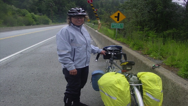
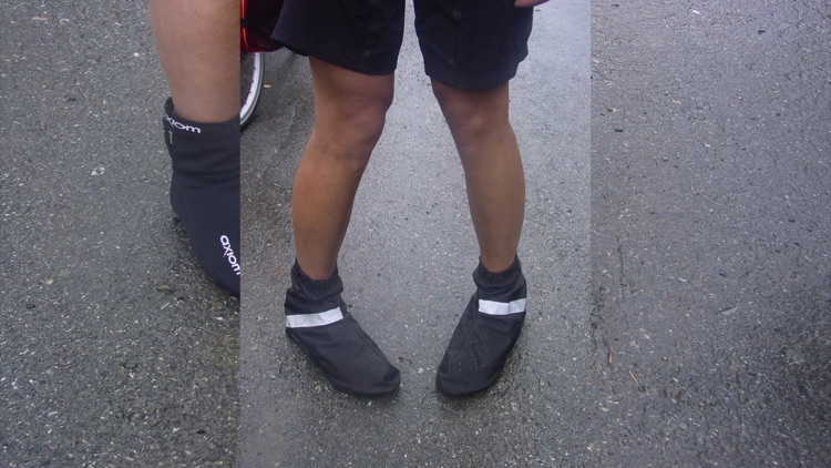
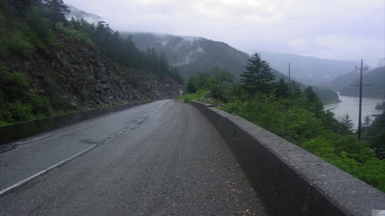
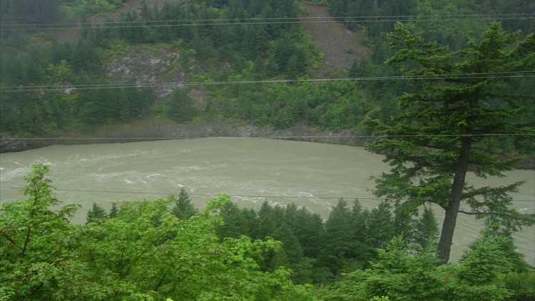
After leaving the Lytton Motel in the rain, our day began along Highway 1. At Lytton, the Thompson River merges with the Fraser, creating a spectacular point where the Thompson’s green waters mix with the Fraser’s muddy flow.
The road along the Fraser Canyon offers many interesting stops, but with torrential rain lasting nearly four hours, we didn’t pause for photos. Still, we fully enjoyed the journey through breathtaking natural landscapes, charming villages, deep canyons, and fascinating history.
Along the way, we passed several villages and points of interest, including Boston Bar, Tuckkwiowhum Heritage Village, Hell’s Gate Alexandra Bridge, the Hell’s Gate Airtram, and the historic Yale site.
We arrived in Hope, a small town nestled in the Fraser Canyon and surrounded by the Coastal Mountains of British Columbia. After setting up our tent at Telte-Yet Campground, we headed into town to stock up on supplies and do a bit of exploring.
While there, we discovered an incredible collection of chainsaw-carved wooden sculptures. Among them was a large statue of Sylvester Stallone as John Rambo, created by artist Ryan Villier to commemorate the filming of the 1982 movie at this location. The sculptures were absolutely stunning!
We ended the day with dinner around the campfire, which kept us warm after hours of cycling in the rain. Despite the wet weather, it was a memorable day, filled with fantastic landscapes and a ride we won’t soon forget.
Click the photo to enlarge and dive into the adventure.
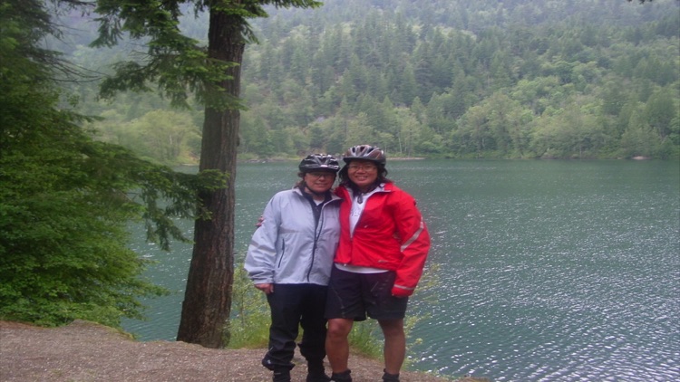
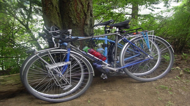
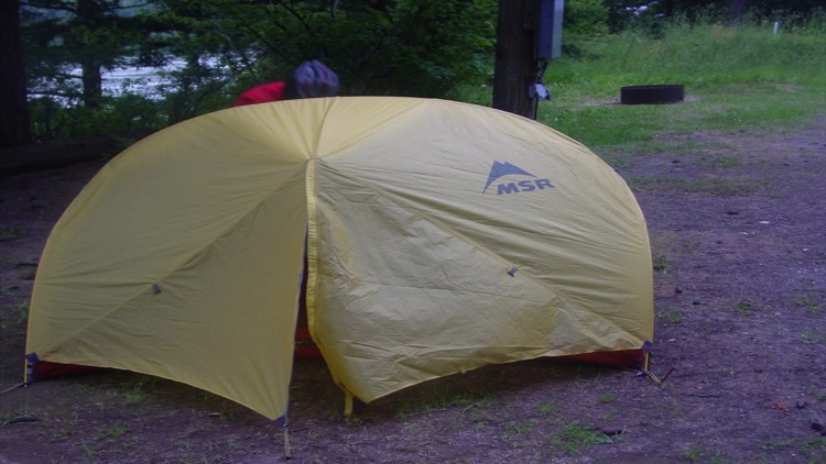
Day 5: Hope → Vancouver
• Distance: 170 km (≈106 miles)
• Riding time: 10 hours 13 minutes
• Overnight stay: Sweet Home :)
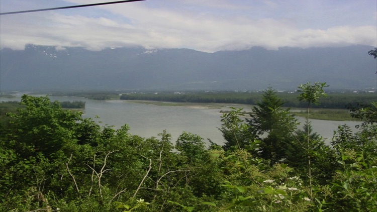
After packing up our tent and loading our bags onto the bikes, we left Hope and followed the Lougheed Highway (Highway 7) west toward Vancouver. The route runs along the north bank of the Fraser River, winding through rolling hills, meandering rivers, mountains, farmland, and lakes.
Along the way, we passed through Agassiz, Harrison Mills, Lake Errock, Mission, Maple Ridge, Coquitlam, and Port Moody, before finally returning to Vancouver, where our journey began.
After 10 hours and 13 minutes and 170.18 km, we arrived at our destination. It was a long ride, full of stunning views, and made unforgettable by great company. In total, we cycled 632.42 km (≈393 miles) through mountains, valleys, rivers, and historic towns a challenging yet unforgettable adventure, rich with breathtaking landscapes and memorable moments.
Click the photo to enlarge and dive into the adventure.