

Cycling Through British Columbia, Canada: From the Pacific to the Semi-Desert
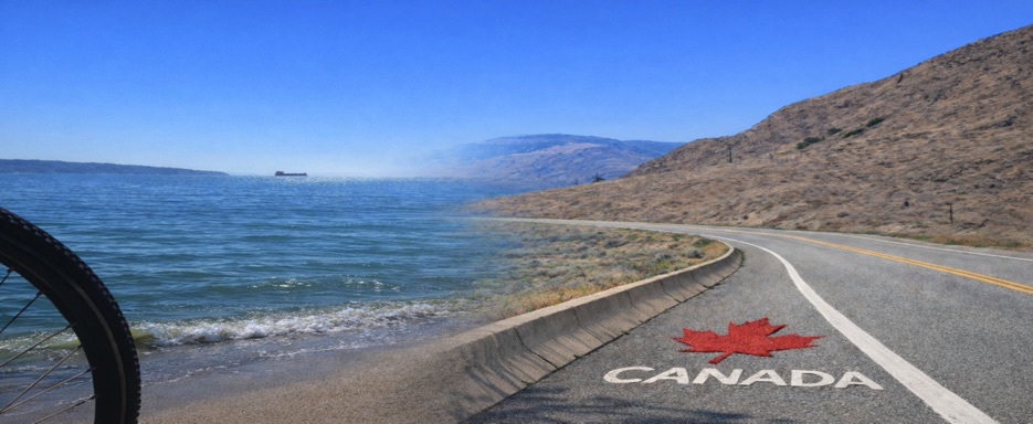
Six days cycling through British Columbia, an independent and self-supported journey between ocean and mountains, temperate forests, river valleys, and semi-arid landscapes, where freedom is the only companion on the ride.
The route crosses a remarkable variety of natural environments: salmon-rich rivers, conifer forests, mountain passes, and interior valleys shaped by water and time. Wildlife is present but discreet, with black bears observing quietly from the woods, while the journey reveals ever-changing, vibrant landscapes with every pedal stroke.
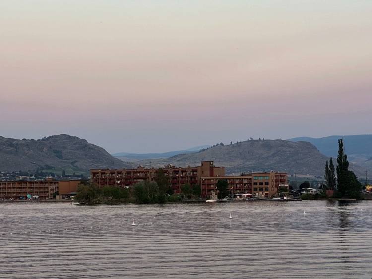
The journey concludes in Osoyoos, in the Okanagan Valley, the southernmost town in British Columbia, lying on the border with Washington State. The town sits at the northern end of Osoyoos Lake, known as Canada’s warmest freshwater lake, set within a unique desert-like landscape of golden hills, vineyards, and mountains.
Often referred to as a “pocket desert”, it surprises visitors with intense light and dry climate after days of cycling through rivers, forests, and mountains.
Every kilometer tells the story of the landscape’s power, but also the deep history of the traditional, unceded lands of the First Nations. Cycling here means traversing spaces where nature and culture are inseparable, and where the land continues to speak through rivers, mountains, and silence
📌 Trail Details
• Start 📍: Vancouver, British Columbia
• End 📍: Osoyoos, Okanagan Valley, British Columbia
• Countries Traversed: Canada
• Dates 📅 : July 22–27, 2024
• Distance 🚴 : 429 km
• Regions/States Traversed: 🌎 British Columbia, Fraser Valley, Cascade Mountains, Similkameen Valley, Okanagan Valley
• Elevation & Key Passes 🏔️ : Allison Pass (1,342 m) and Sunday Summit (1,282 m)
• Difficulty 💪 : Moderate to Challenging – suitable for experienced cyclists accustomed to multi-day self-supported rides and climbing significant elevation gains.
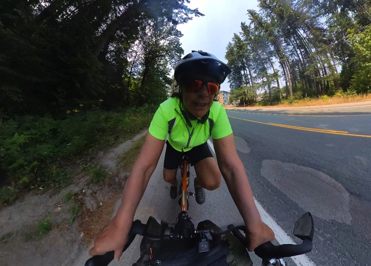
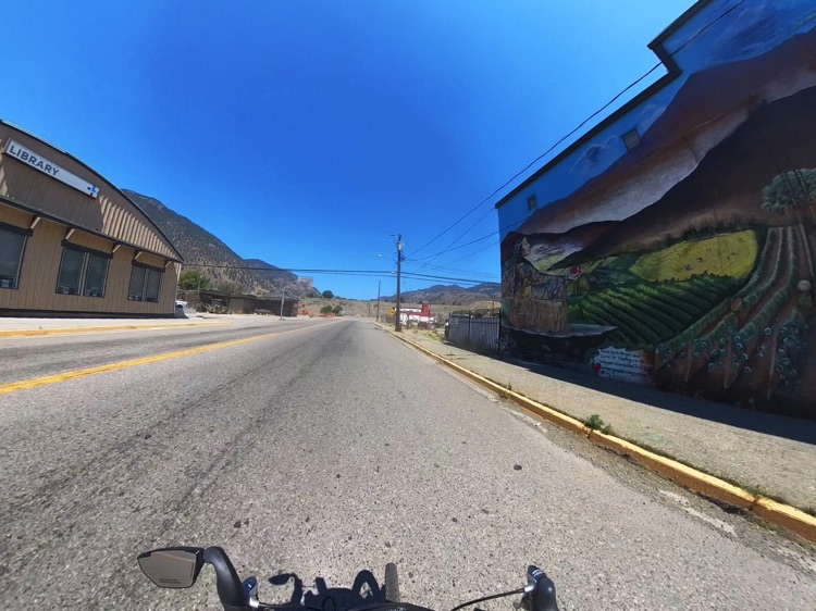
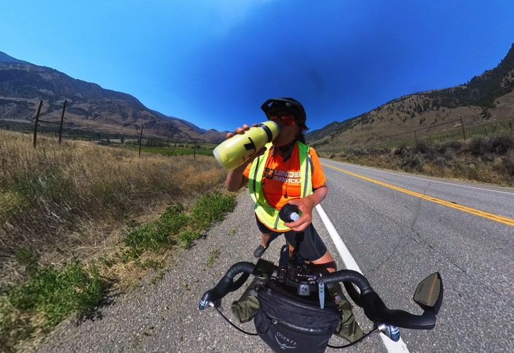
• Video Equipment 🎥 : Insta360X Action Camera
• Blog 📝 : Check the blog for route details, stories, and Insta360X footage
• Route Map 📍: View Map coing soon
Travel and Camping Gear
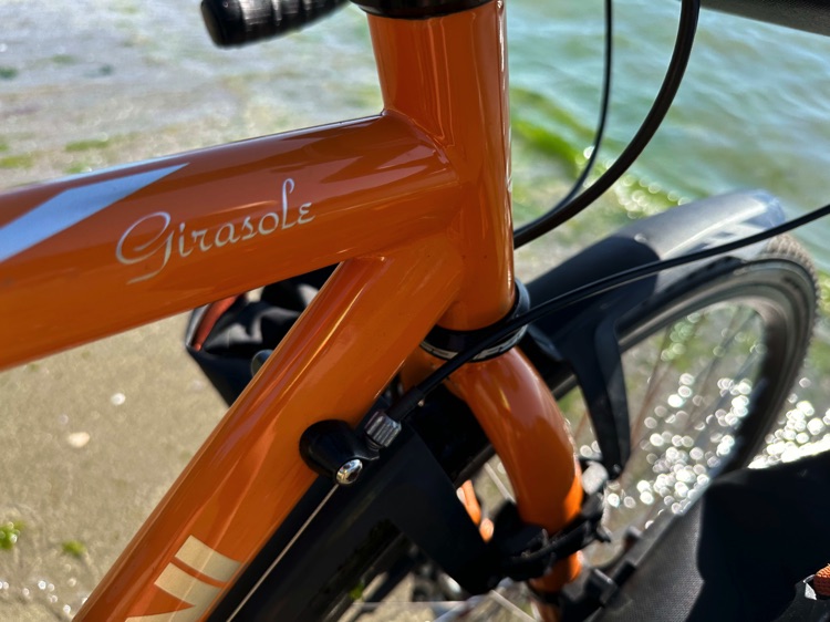
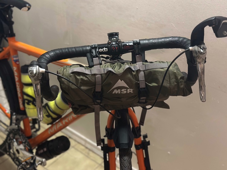
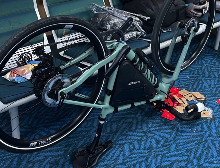
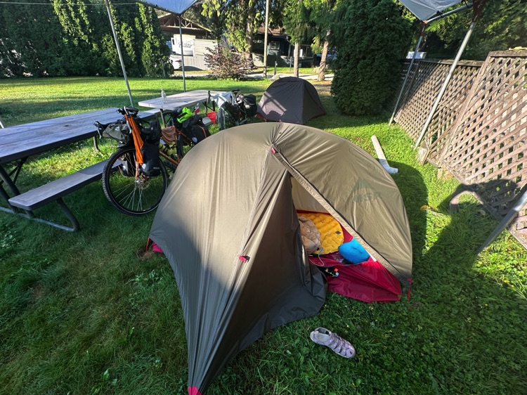
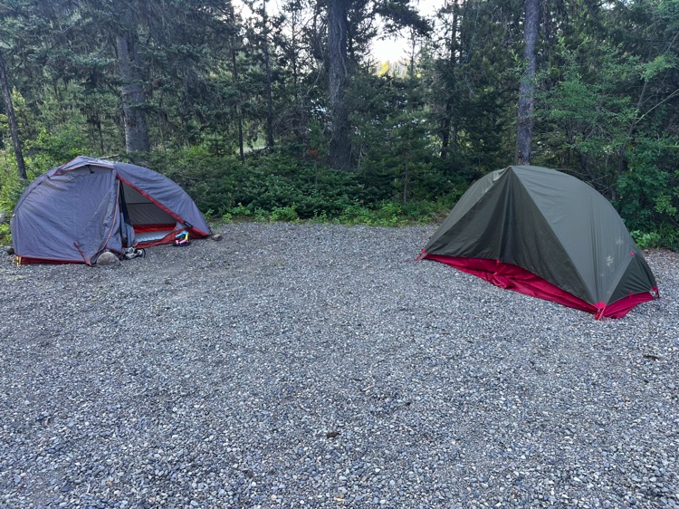
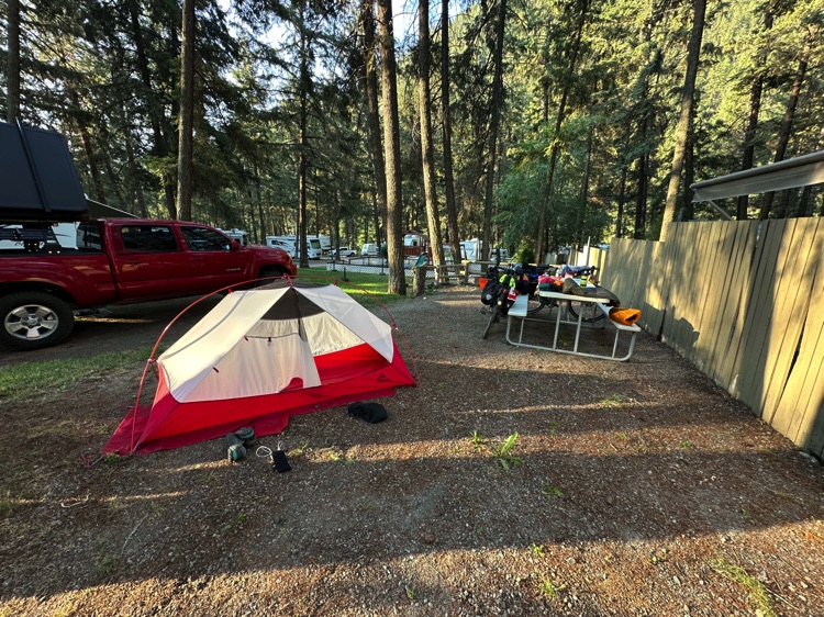
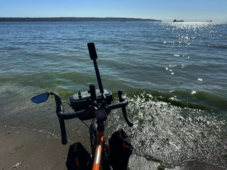
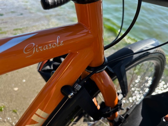
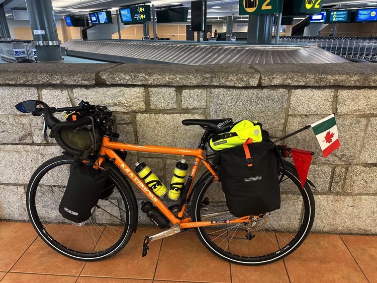
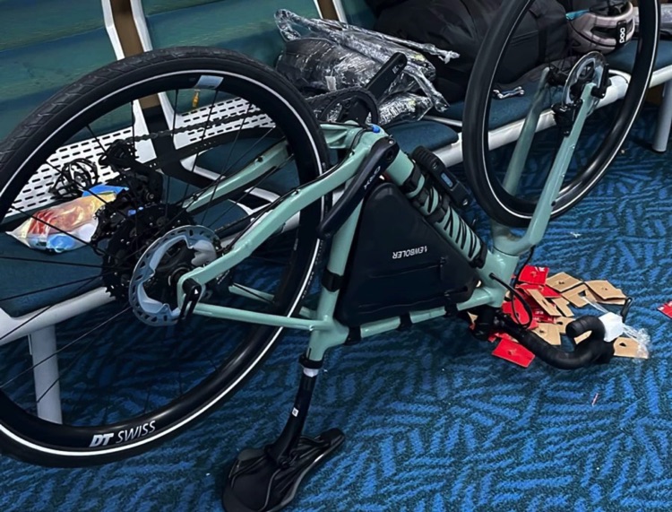
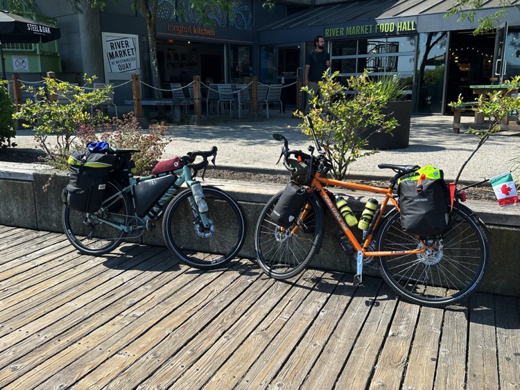
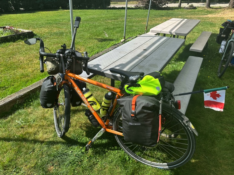
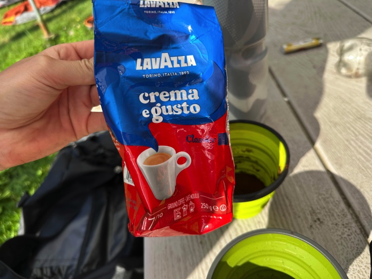
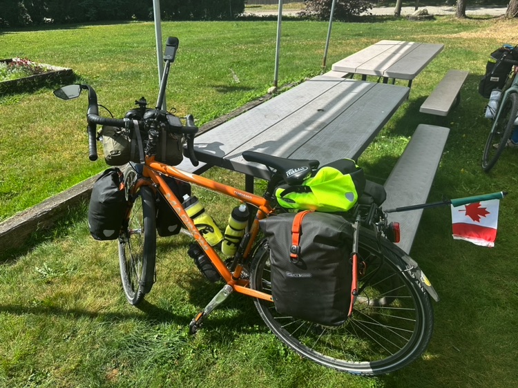
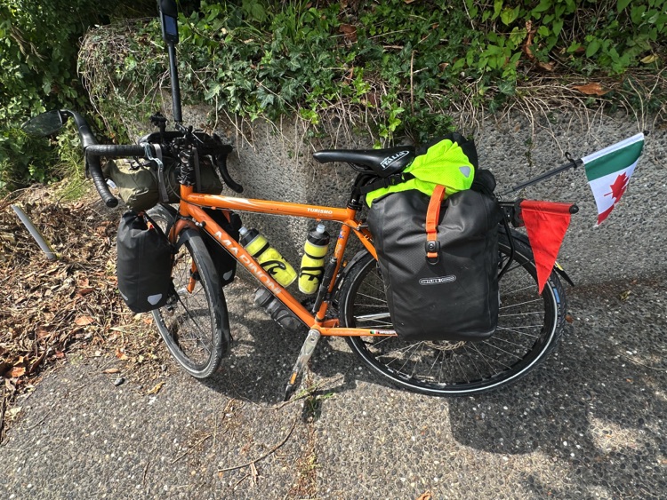
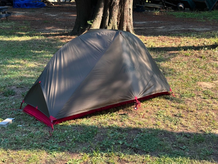
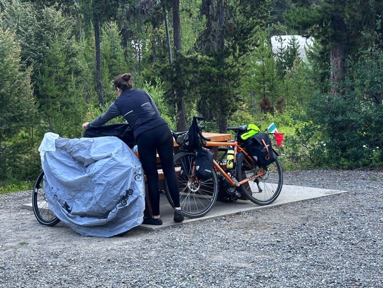
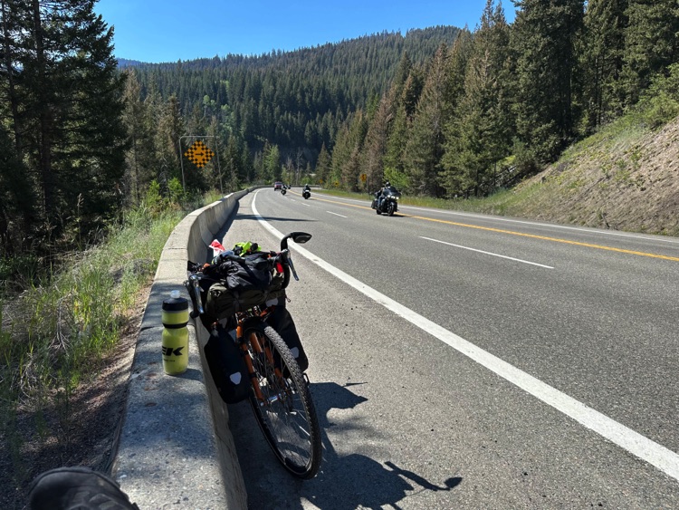
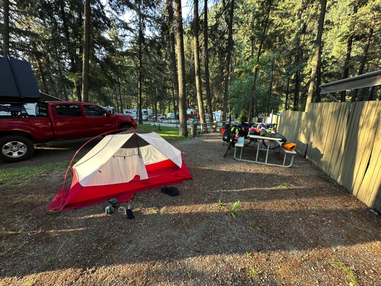
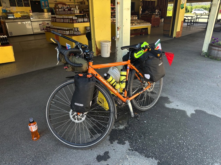
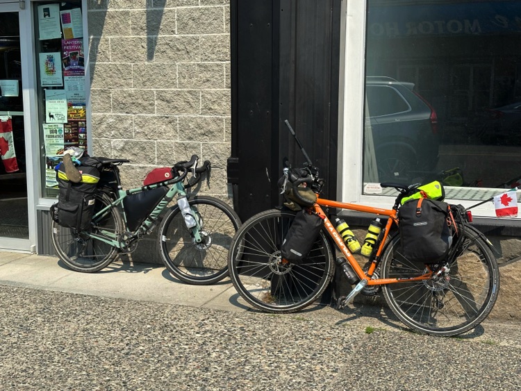
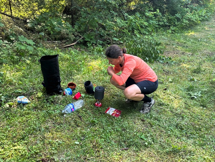
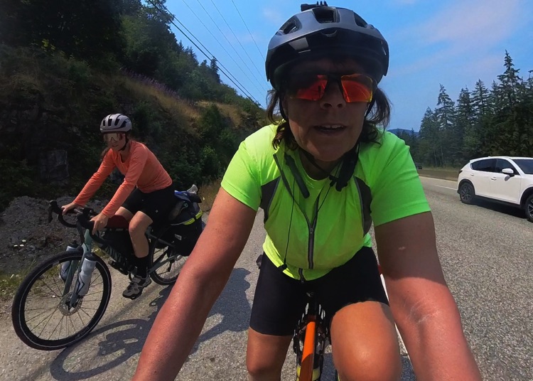
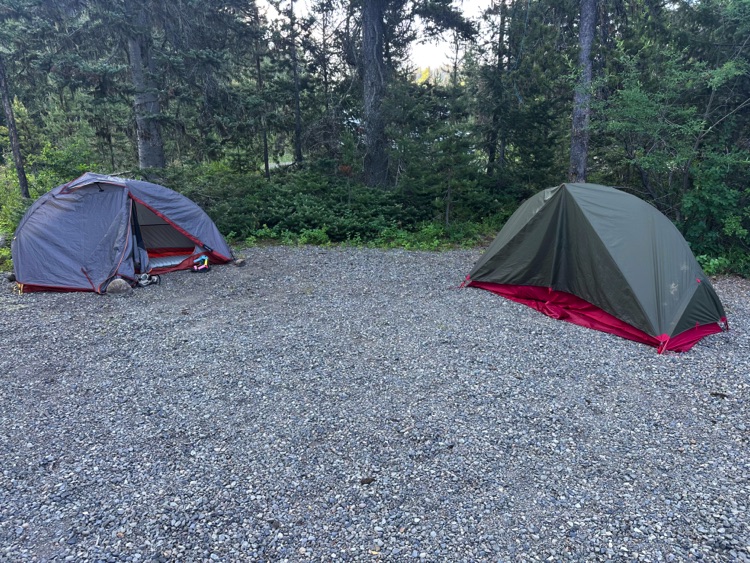
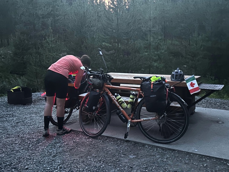
For this cycling journey, each of us chose equipment suited to our personal needs. I opted for a minimalist setup, carrying only the essentials: one-person tents, lightweight sleeping bags, a camping stove for simple breakfasts and meals, and functional, versatile clothing suitable for climbs, descents, and changing weather along the route.
Every item was selected to maximize lightness and practicality, without compromising on safety or basic comfort. At provincial and private campsites, this gear allowed us to set up quickly and immerse ourselves in nature, while in the more remote areas of British Columbia, the local wildlife and arid or mountainous landscapes constantly reminded us of the wild character of the territory.
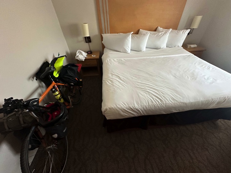
On the final day, in Osoyoos, we treated ourselves to the comfort of a lakefront hotel, with the warm desert light and golden hills framing the view, bringing to a close the crossing from the Pacific coast to the interior heart of British Columbia.
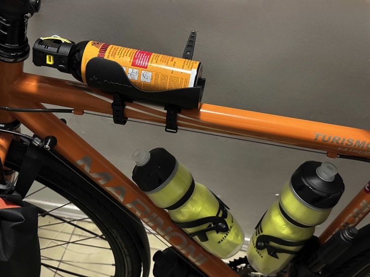
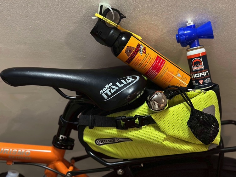
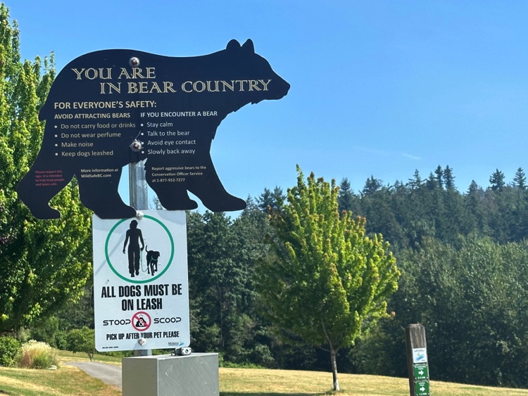
For safety, throughout the journey we also carried bear spray and a bear horn, essential tools when cycling in areas inhabited by wildlife.
The bear horn helps signal your presence, preventing sudden encounters along isolated roads or forested trails, while bear spray serves as the primary defense in rare close encounters, capable of temporarily neutralizing an aggressive bear and giving you time to move away safely.
The presence of black bears, discreet yet real along the route, was an integral part of the experience of exploring authentic British Columbia. Being prepared and aware, with the right equipment, made the ride calm and confident: not a source of fear, but a reminder of the wild and untamed nature of the landscapes traversed.
Day 1 | Vancouver – The Sea as a Starting Point 🌊
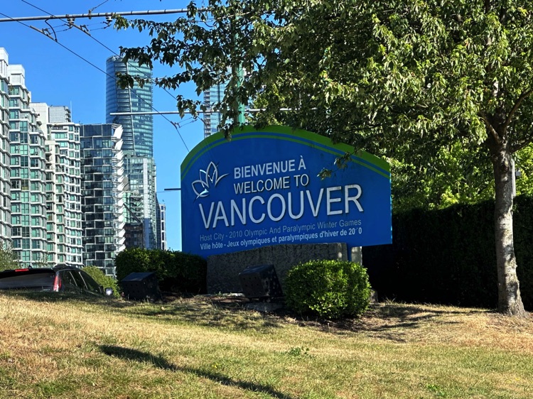
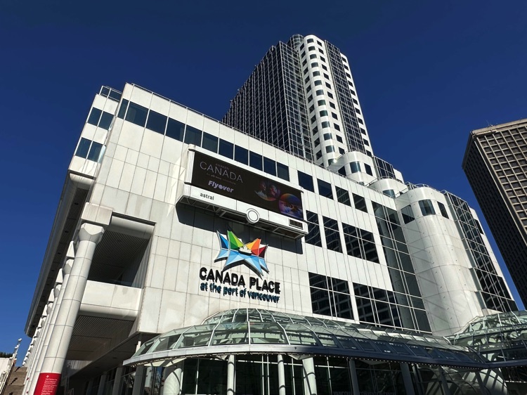
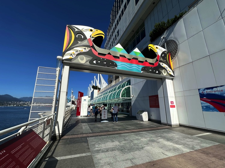
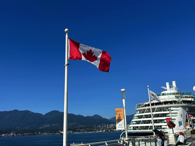
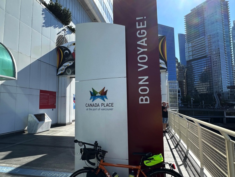
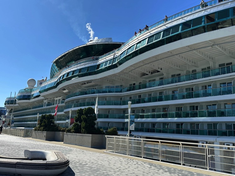
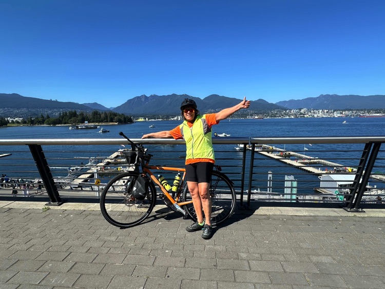
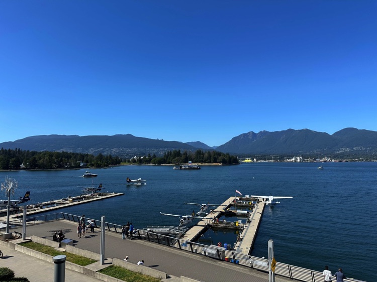
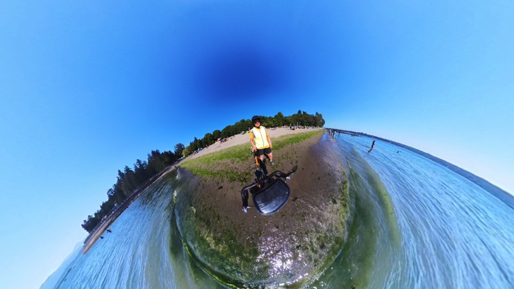
The journey begins solo at Canada Place, with its large white sails standing out against the morning sky, a symbol of departures and adventures. The salty ocean air blends with the backdrop of the Coast Mountains, marking the start of this crossing.
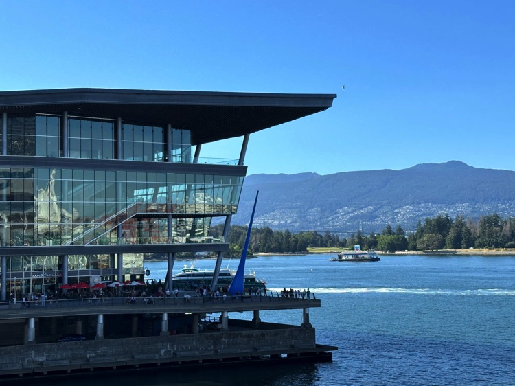
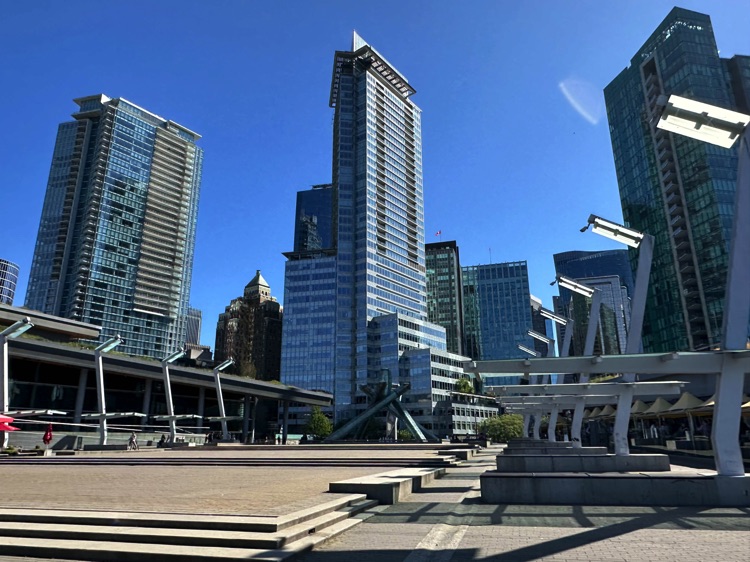
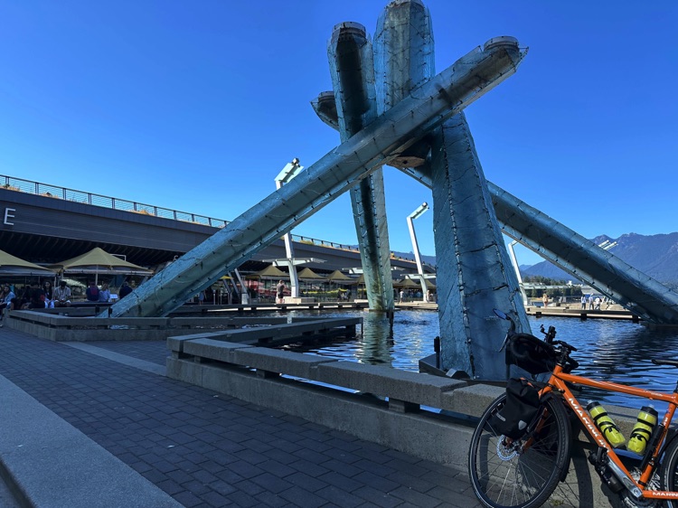
Cycling along the Coal Harbour Cycle Path, Vancouver reveals itself at its most balanced: glass, steel, and nature coexisting effortlessly. The path runs alongside the Vancouver Convention Centre, reflecting in the calm waters of the harbor. A little further on, at Jack Poole Plaza, the Olympic cauldron recalls the 2010 Games, a symbol of openness and harmony with the territory.
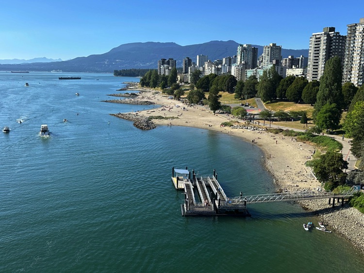
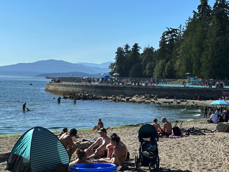
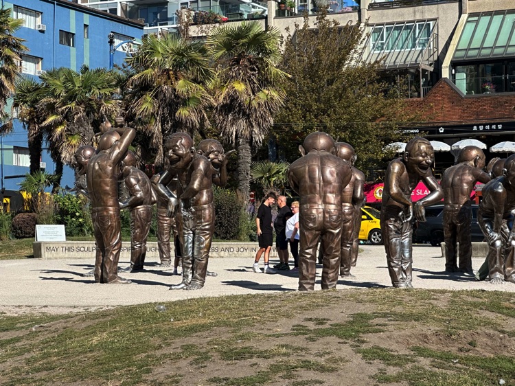
Heading toward English Bay, the city’s most popular urban beach, golden sand, kayaks, and cyclists share the space under a sky often streaked with light clouds. The bronze figures of A-maze-ing Laughter add a surreal and playful touch.
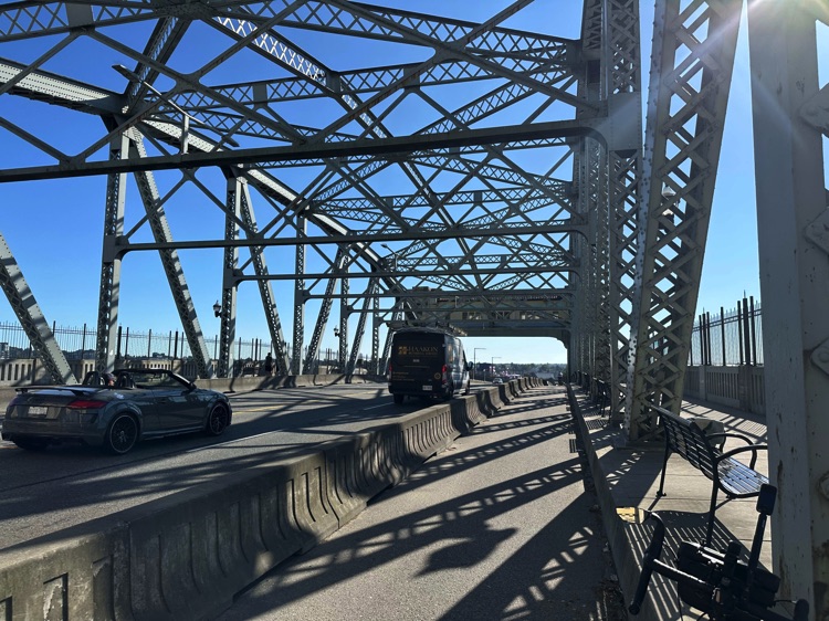
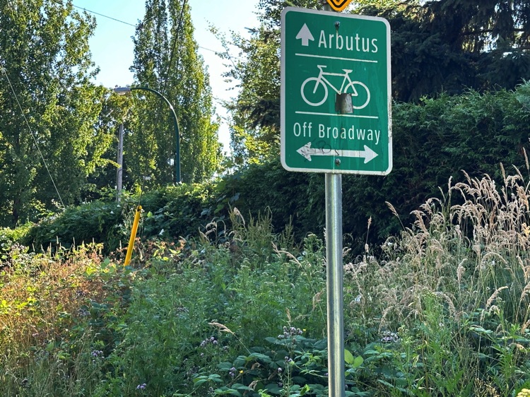
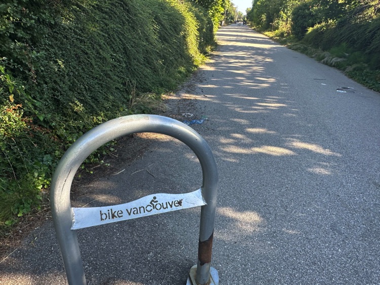
Leaving the waterfront, we cross the Burrard Bridge, a true rite of passage between the urban core and residential neighborhoods. Then comes the Arbutus Greenway, along a former railway track: a green corridor guiding us toward nature and the real start of the journey.
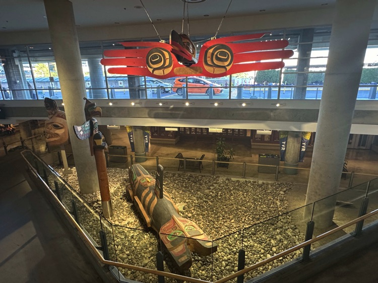
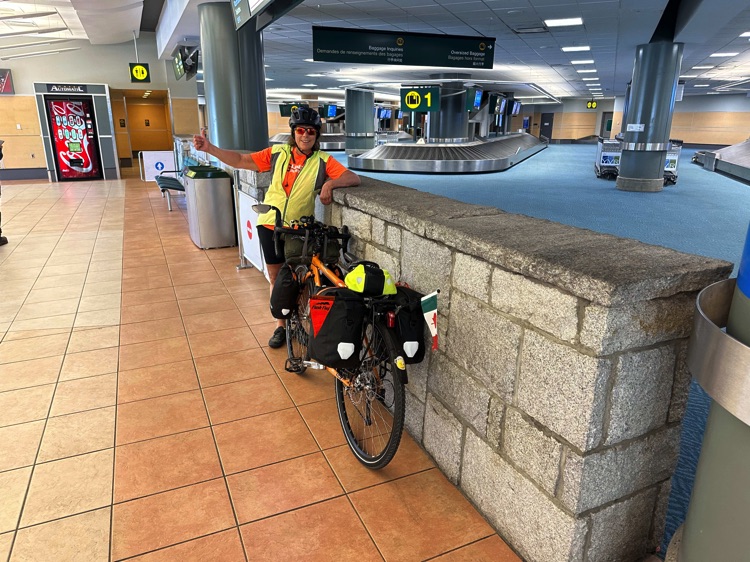
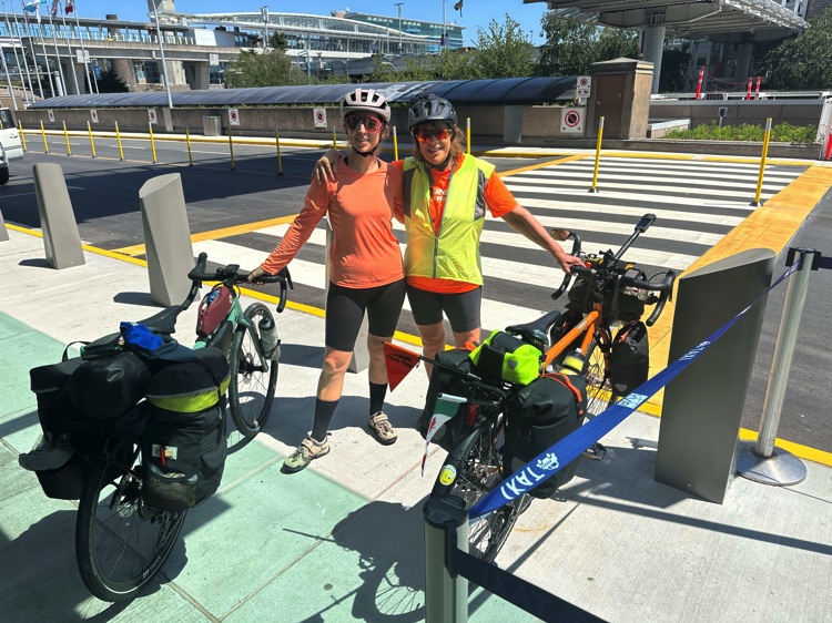
Finally, SW Marine Drive and the Arthur Laing Bridge lead us to Vancouver International Airport, a symbolic urban boundary: the following day, I will meet my travel companion from Alberta.
Day 2 | From the Heart of Vancouver to the Lower Mainland, Following the Fraser River to Mission
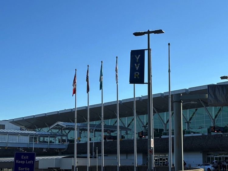
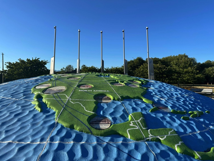
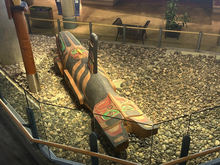
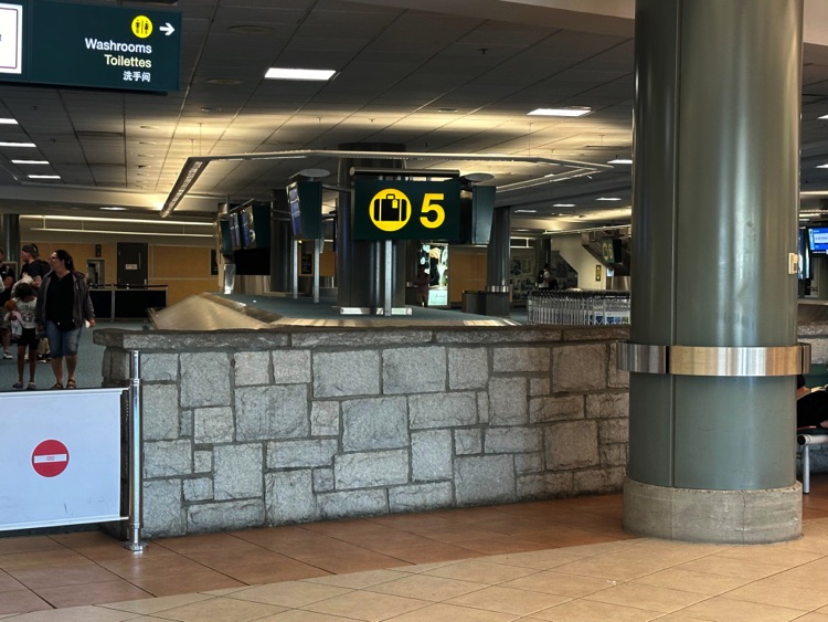
The day begins at Vancouver International Airport (YVR), a symbolic urban boundary where the journey resumes. Leaving the terminal, we head toward the Larry Berg Flight Path Park, aligned with the end of the south runway. From here, you can watch planes land and stroll over the park’s small globe sculpture, enjoying a privileged view of air trafficand the Fraser River.
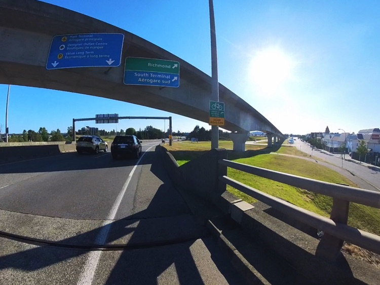
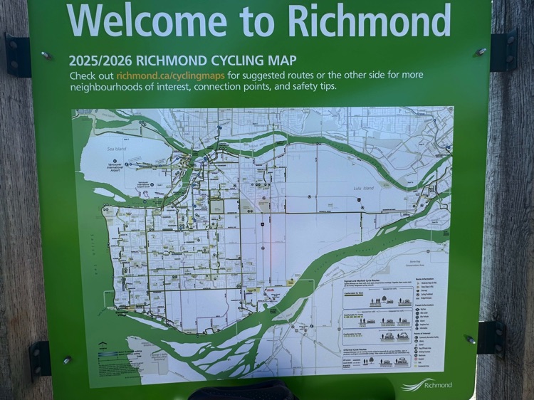
Cycling along Russ Baker Way, parallel to the South Terminal runway, we immerse ourselves in the Sea Island cycling network. Passing through Richmond along Sea Island Way, the route connects to River Road, along the north bank of the Fraser River.
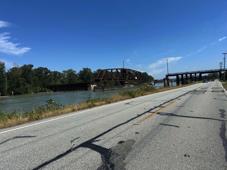
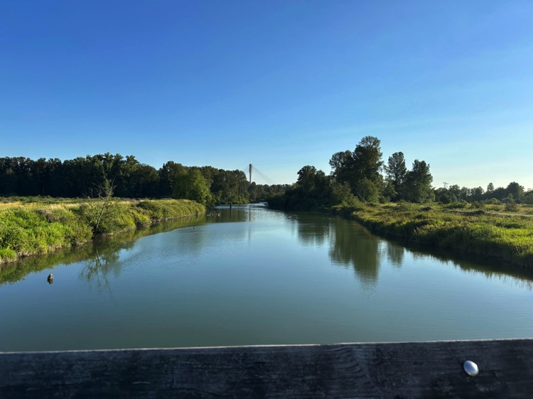
Here, the landscape alternates between bike paths, dyke trails, and quiet roads, crossing canals, farmland, and wetlands typical of the Lower Mainland.
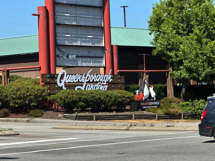
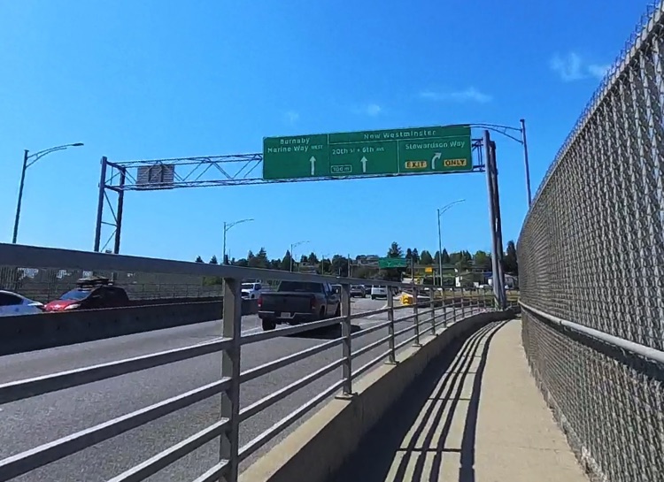
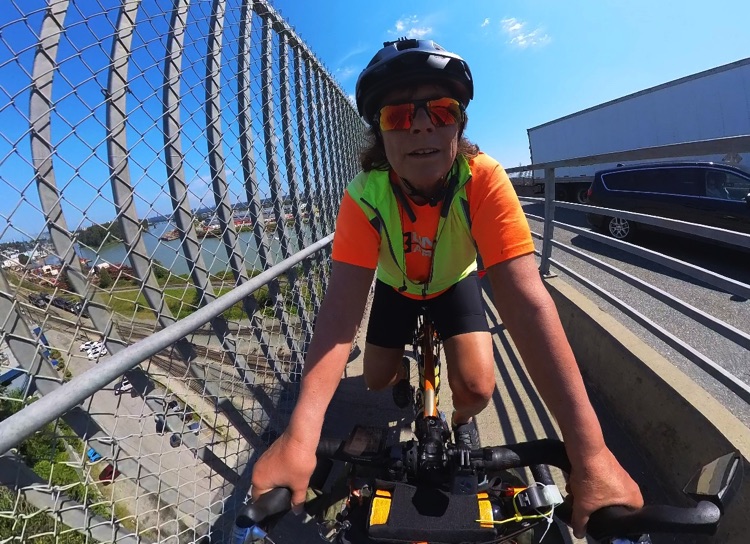
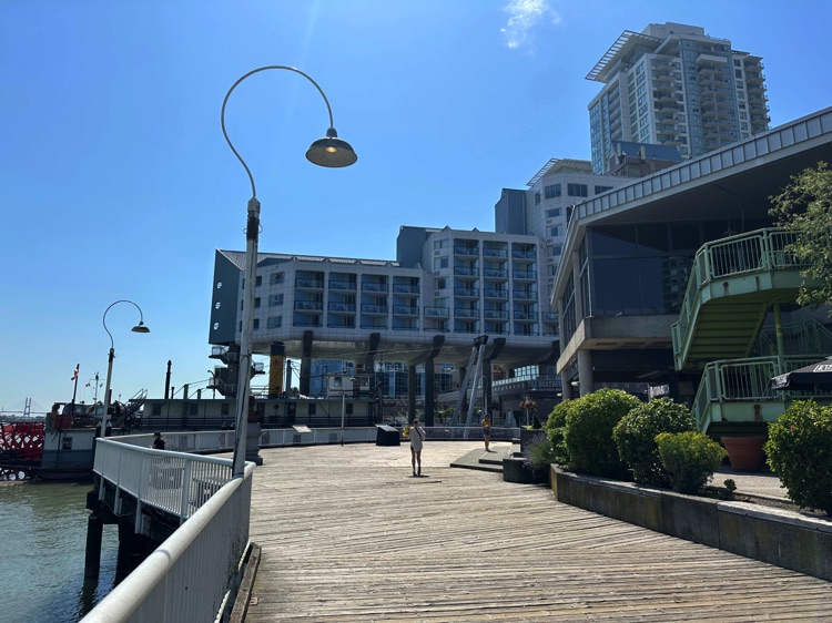
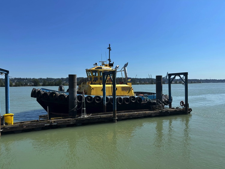
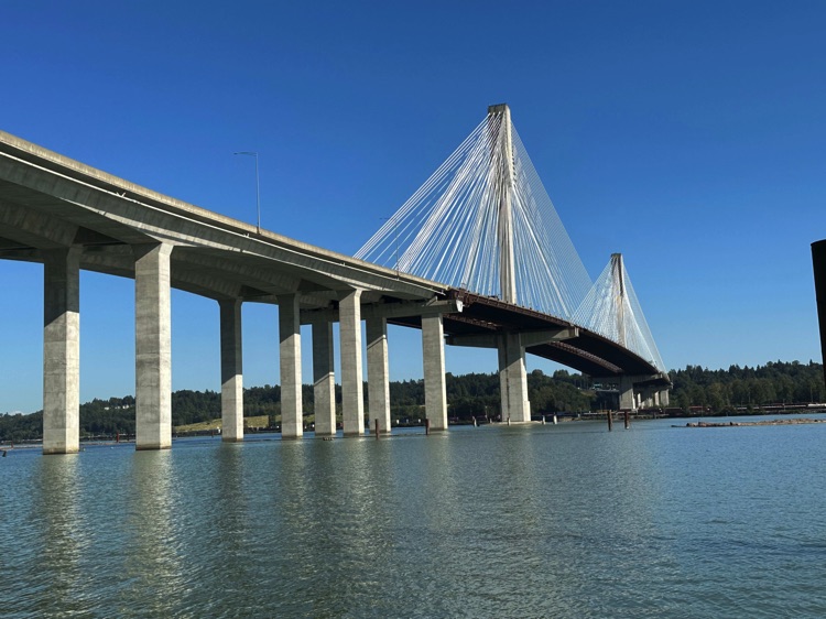
The BC Parkway Trail leads us to cross the Queensborough Bridge, entering New Westminster, the historic former capital of British Columbia. Along the riverside, among converted industrial buildings and historic docks, cycling in the shadow of the Pattullo Bridge is an experience that merges colonial heritage with the ever-present Fraser River, flowing slow and silent beside the path.
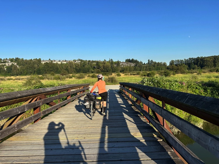
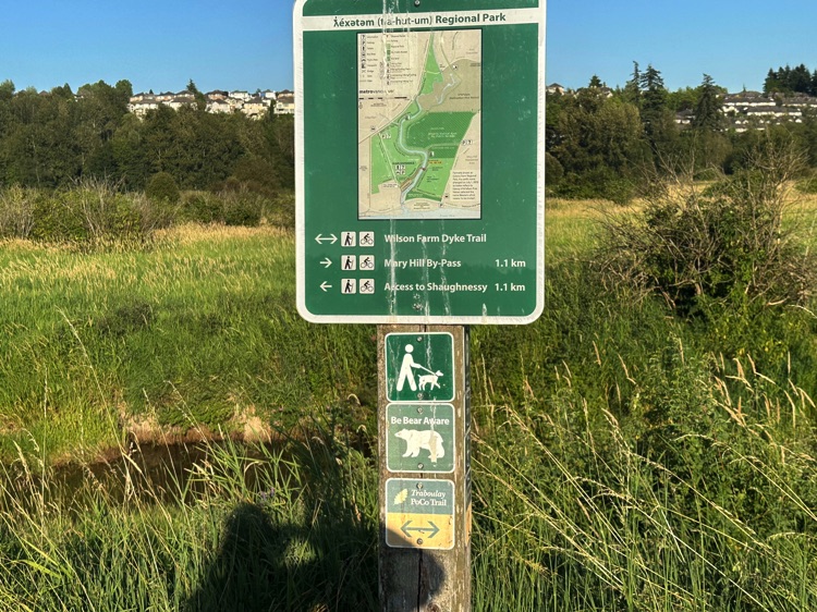
Leaving the urban area behind, the trail enters ƛ̓éxətəm Regional Park (formerly Minnekhada Regional Park), along the Coquitlam River. Here, asphalt gives way to gravel paths, gentle ups and downs, dense forests, and wetlands. Local wildlife, including black bears, observes discreetly. Some sections require walking with the bike, while compact stretches allow smooth cycling, immersed in a natural environment surprising in its variety and tranquility.
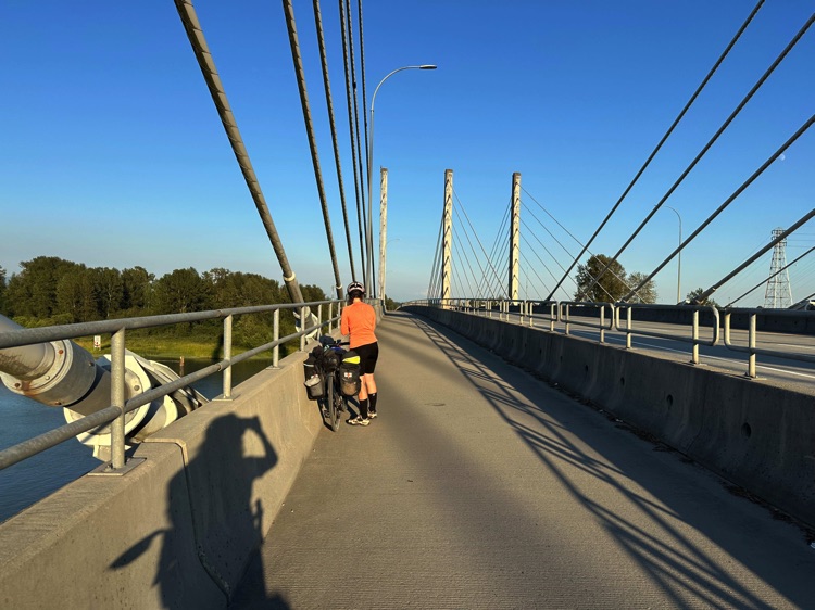
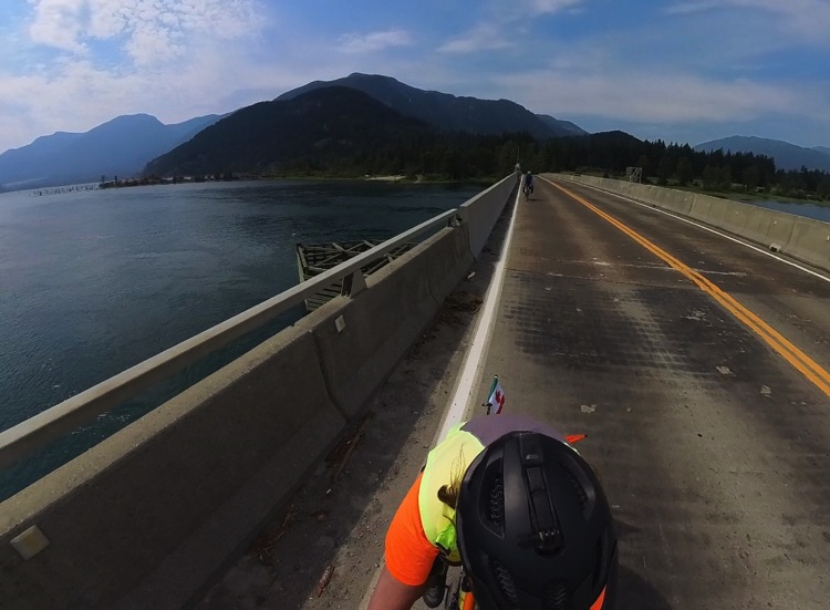
Exiting the park, the Fraser River becomes the Pitt River, crossed via the long Pitt River Bridge, suspended over a wide, luminous valley. Shortly after, the river returns to its original course, guiding the route toward the South Alouette neighbourhood and on to Maple Ridge. Here, the landscape opens into a mosaic of orchards, farmland, and open rural spaces, a prelude to the eastern Fraser Valley.
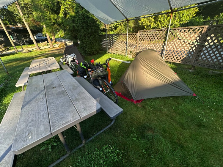
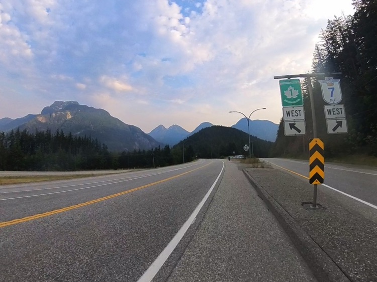
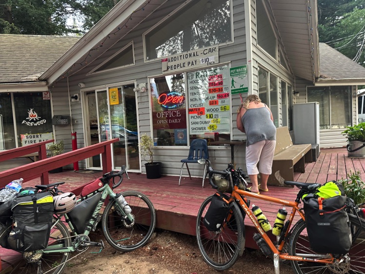
The final kilometers follow Highway 7 (Lougheed Highway), always parallel to the Fraser River. We pass through Silverdale, a semi-rural district of Mission, until reaching Sun Valley RV Park, tucked in greenery and sheltered by trees.
The campground offers a peaceful refuge after a day traversing airport zones, urban landscapes, riverbanks, and rural scenery, providing a complete picture of the transition from the Lower Mainland to the Fraser Valley.
Day 3 | Mission → Hope – Across the Eastern Fraser Valley
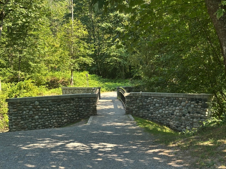
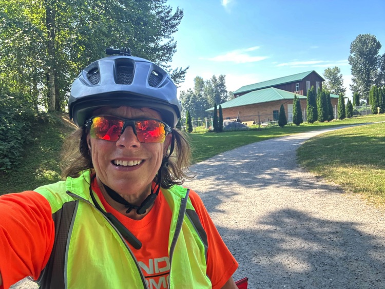
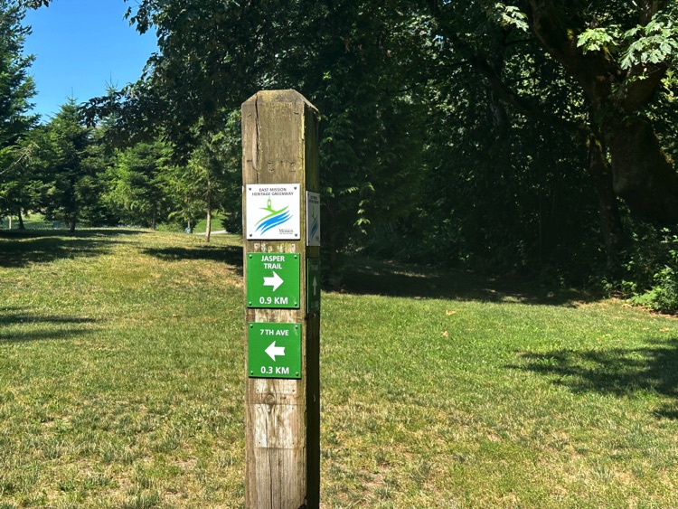
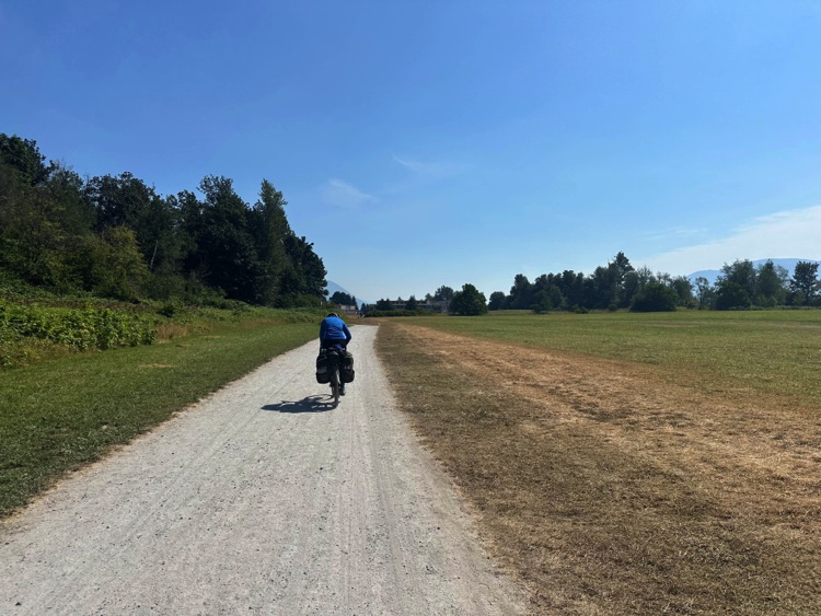
We set off from Sun Valley RV Park in Mission, initially cycling along flat, gravel paths that are part of the East Mission Heritage Greenway, a corridor frequented by walkers and mountain bikers and marked as significant habitat for black bears. We then continue on a local road along Highway 7 (Lougheed Highway). The first pedal strokes warm the legs while the Fraser River flows silently beside us, a witness to rural life and the small communities along its banks.
The route follows Highway 7 along the Fraser River, passing through Silverdale, Harrison Mills, Deroche, and Lake Errock, amid farms, orchards, and woodland. Paved stretches alternate with gentle undulations, while the rural scenery dictates a steady, progressive rhythm toward the interior.
This part of the eastern Fraser Valley is home to rich but discreet wildlife: waterfowl, coyotes, and black bears, whose presence is noted along the route, though often unseen by those quietly passing through these lands.
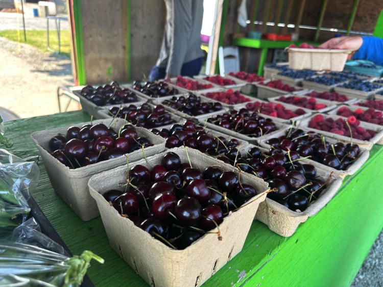
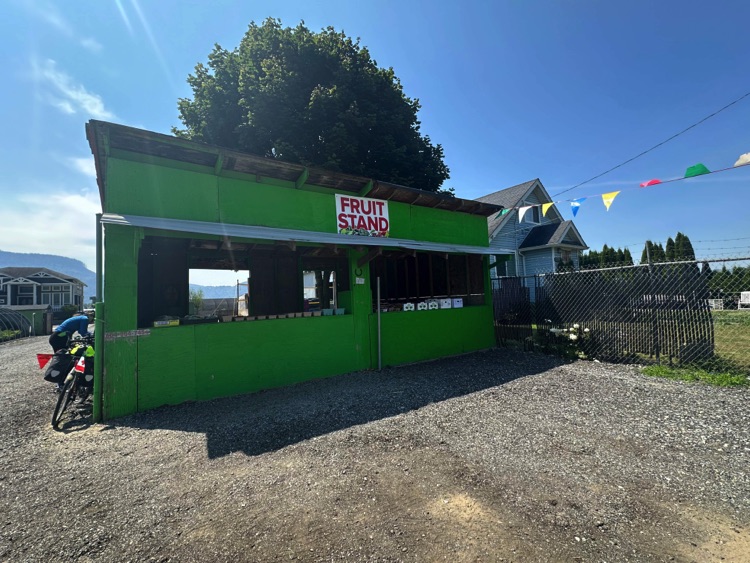
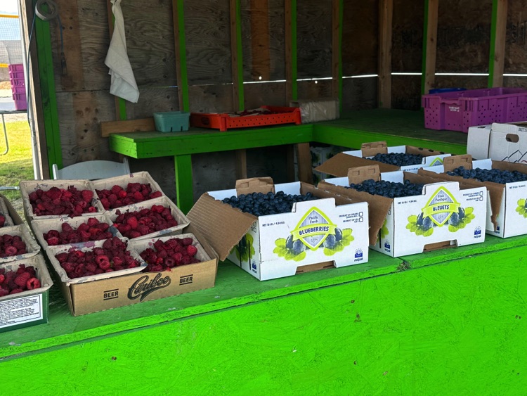
The road offers informal stops: small fruit stands in Dewdney and open areas along the river provide refreshment opportunities, while Harrison Mills Bay presents serene water views reflecting the surrounding mountains.
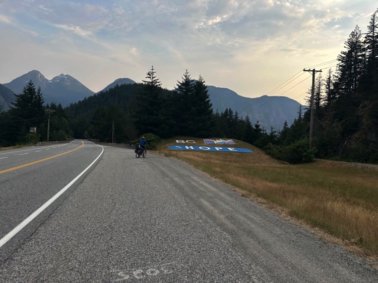
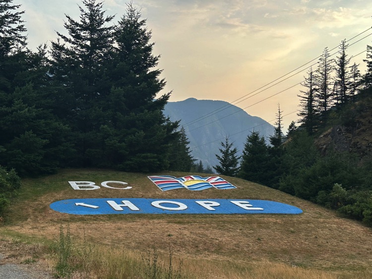
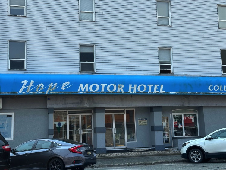
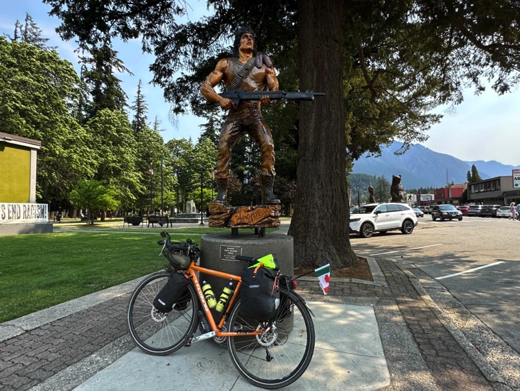
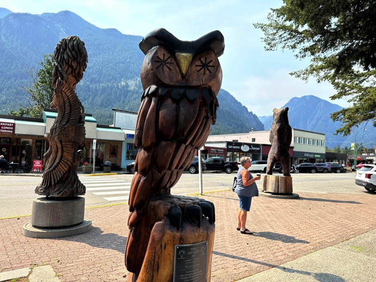
As we approach Hope, the mountains gradually close the horizon. The town, known as the Chainsaw Capital of Canada, stands out for its chainsaw-carved wooden sculptures, including the famous statue of Sylvester Stallone as John Rambo, an unexpected symbol at the gateway to the Cascade Mountains.
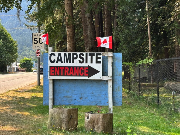
Just outside the center of Hope, Telte-Yet Camp Site, set in greenery and beside the river, marks the end of a transitional stage: from river plains to the first mountain foothills, a prelude to the climbs and alpine panoramas of Manning Park.
Day 4 | From the Manning Park Mountains to Sunday Summit and the Similkameen Valley
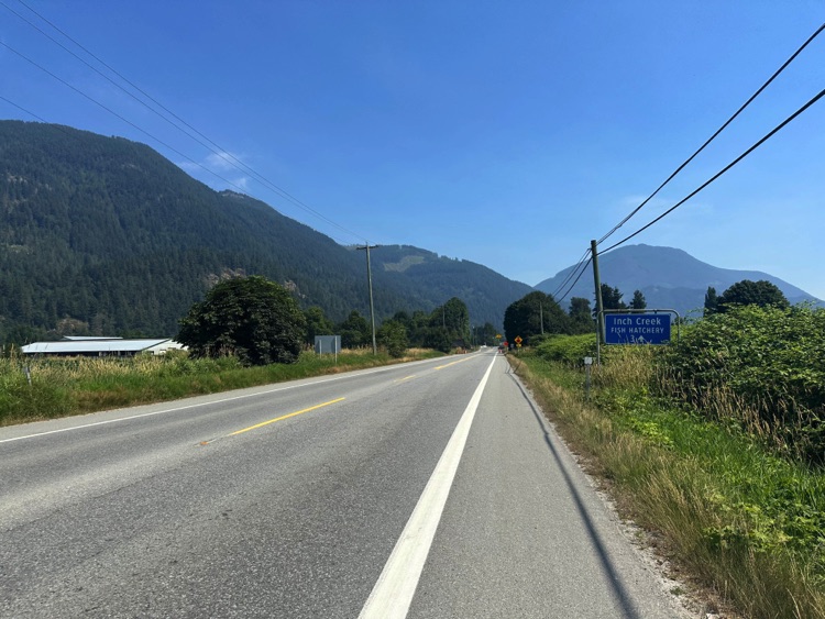
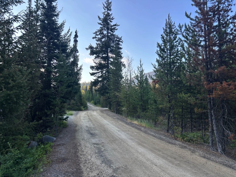
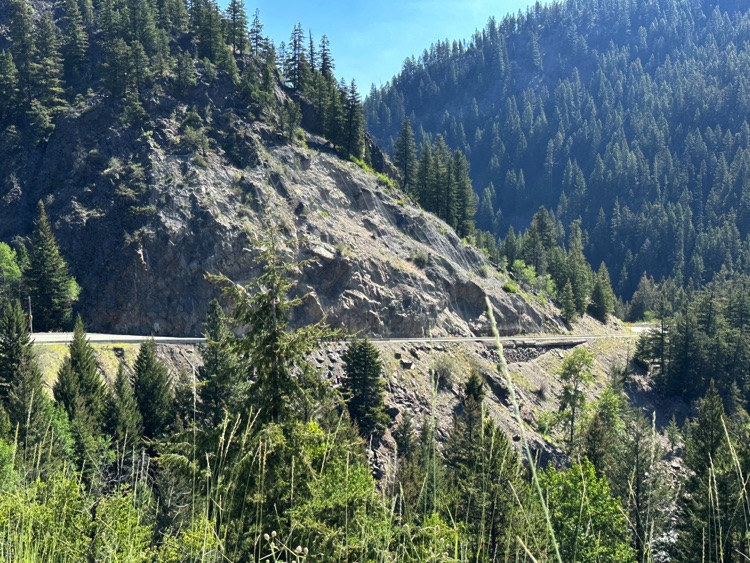
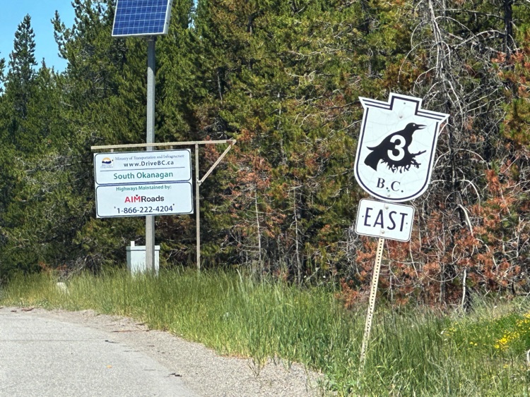
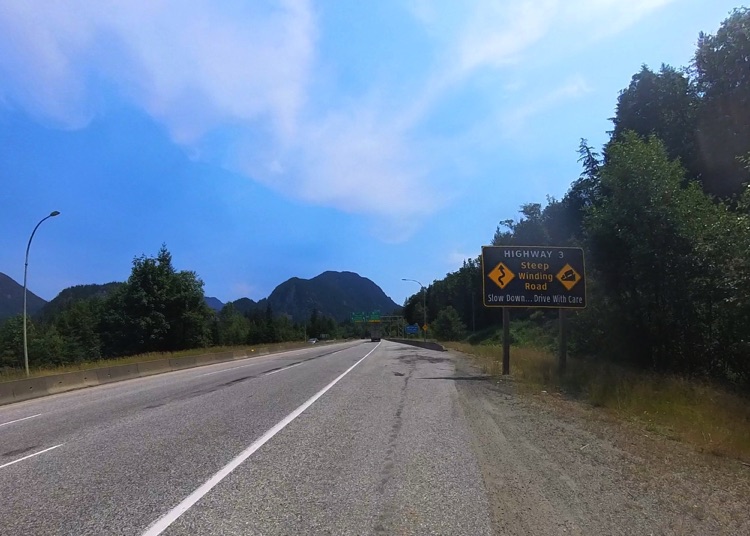
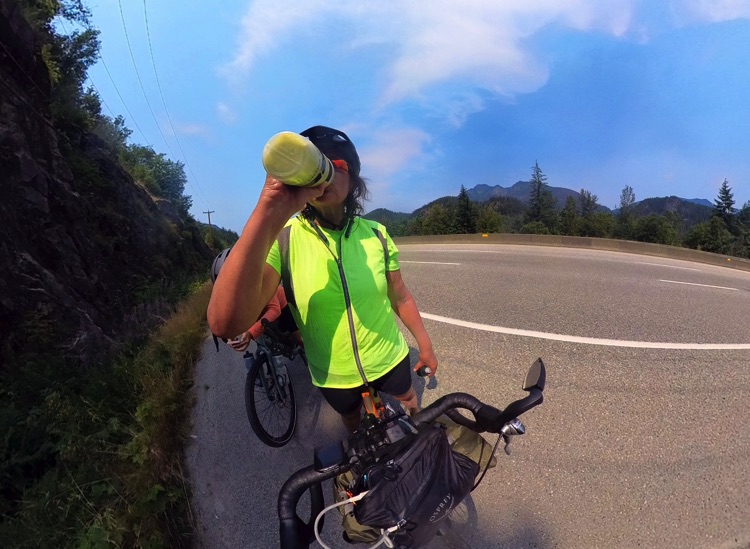
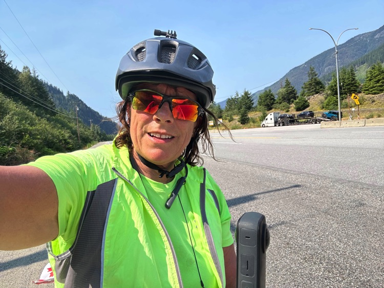
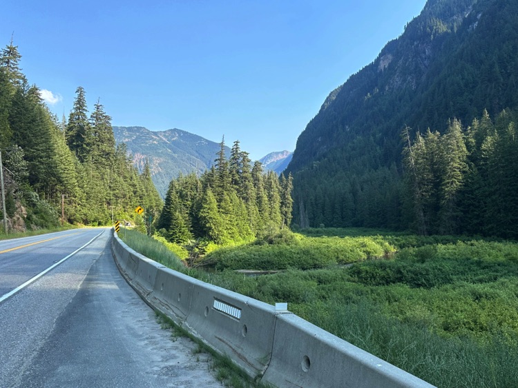
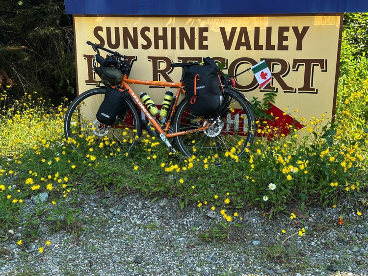
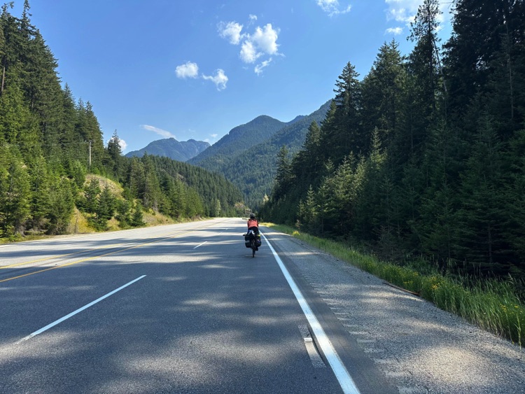
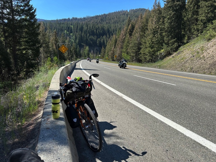
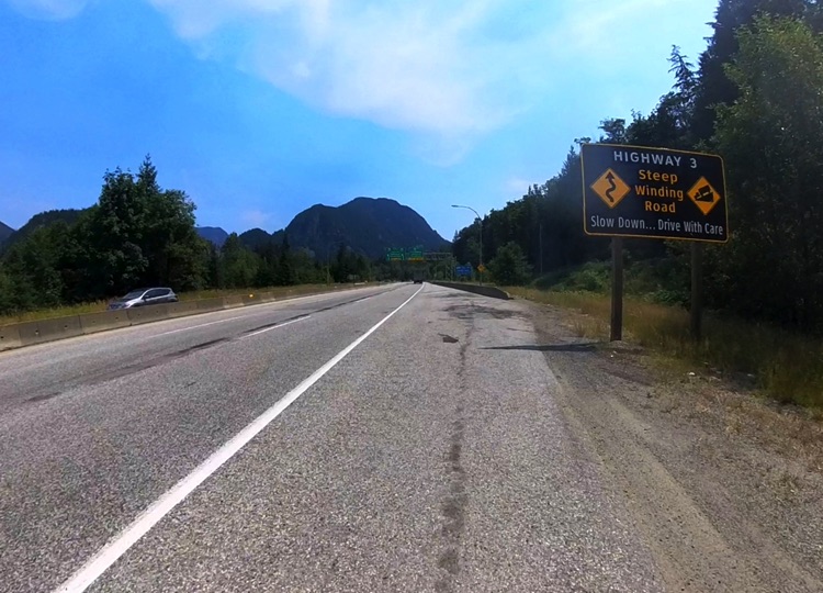
From the village of Hope, with the morning sun illuminating the Cascade Mountains, we leave the Fraser Valleybehind. Legs are fresh, but the road immediately begins to climb, announcing the first real challenges of the journey. Highway 3 winds into the Sunshine Valley, following a wide, steady path that gains altitude through dense forests and wooded slopes.
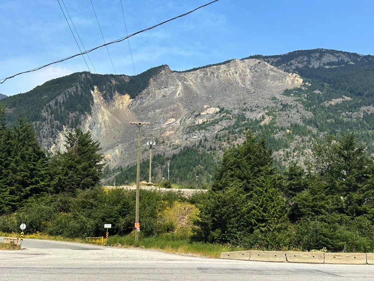
Just outside town, a stop at the Hope Slide recalls the massive 1965 landslide. Colossal boulders, scattered as if time had stopped, silently tell the geological power of these mountains. It is a place that invites slowing down and observing, reminding us of the delicate balance between infrastructure and nature.
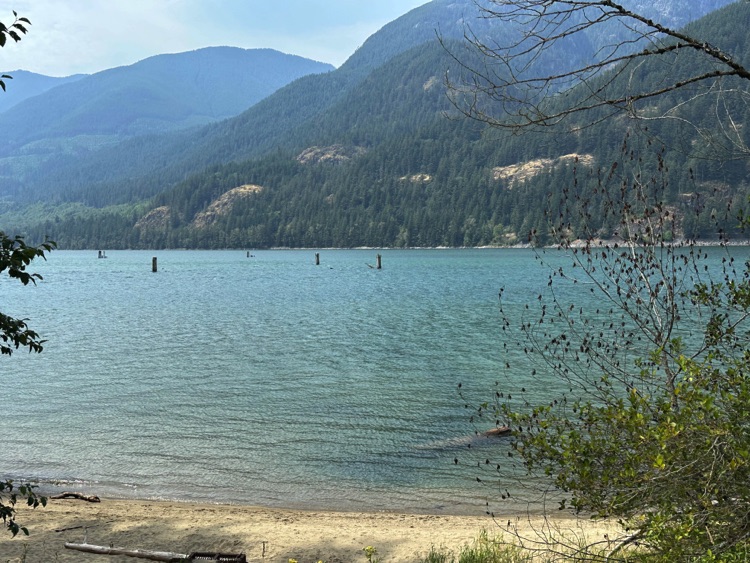
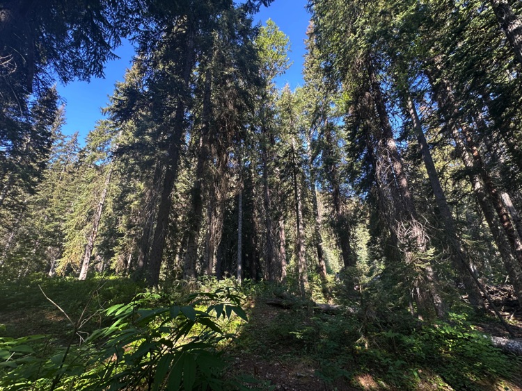
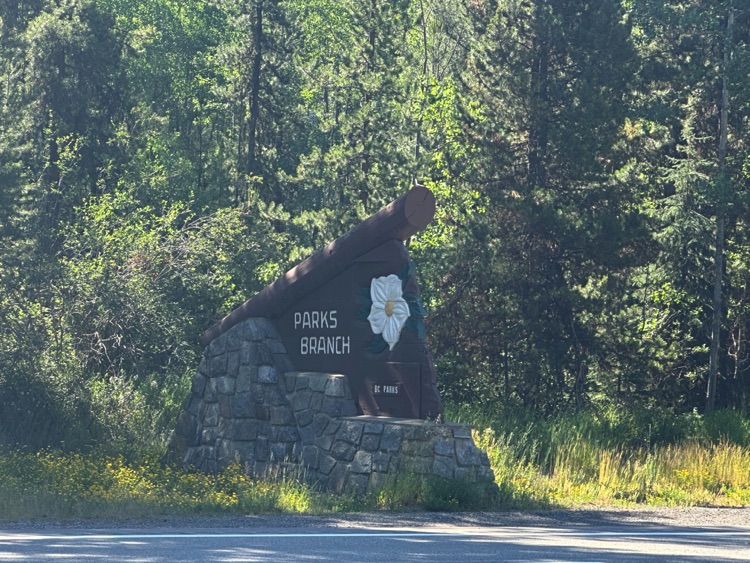
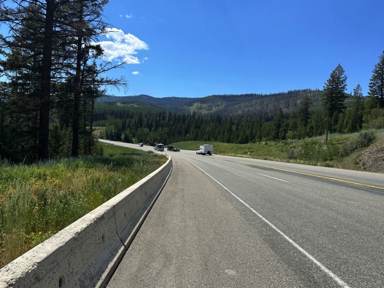
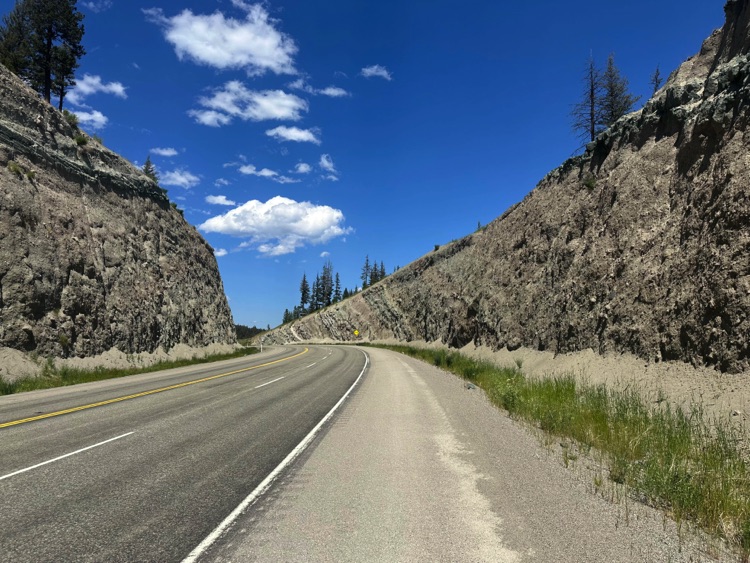
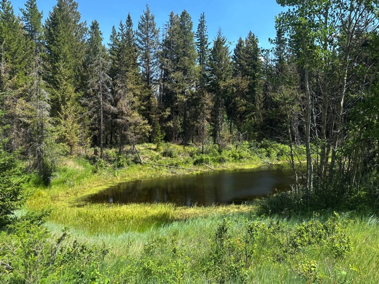
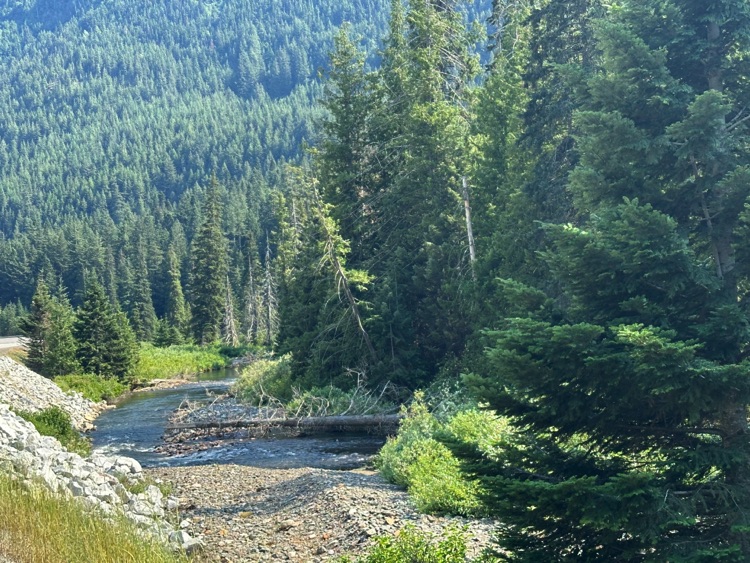
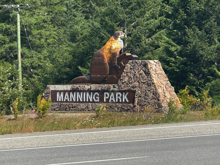
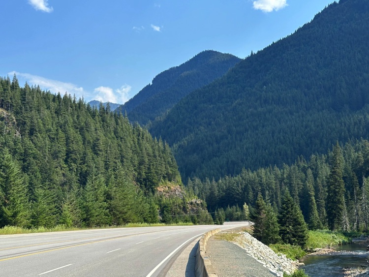
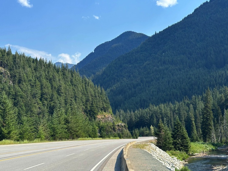
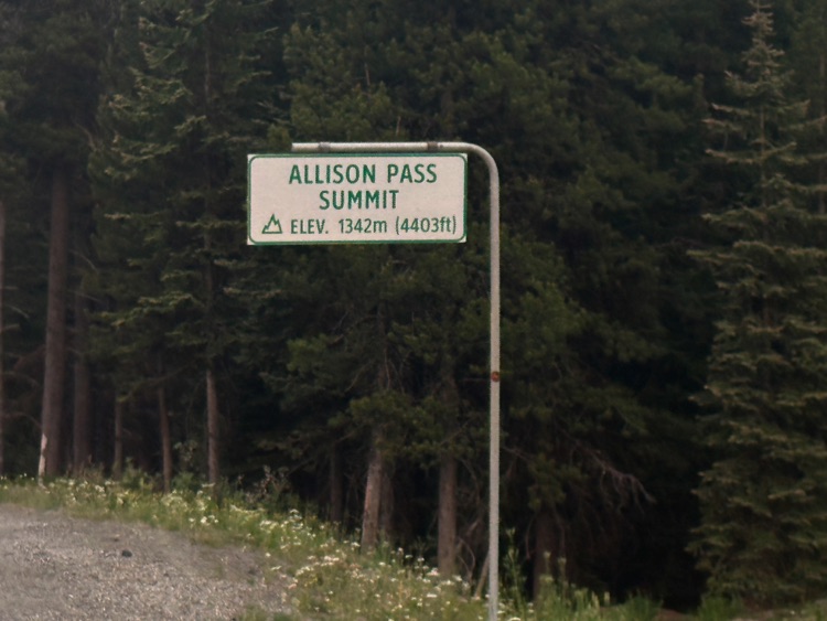
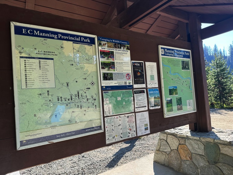
The climb continues steadily up to Allison Pass (1,342 m), passing through conifer forests and skirting hidden alpine lakes tucked among the mountains. Beyond the pass, the landscape changes pace, opening into a succession of gentle undulations through E.C. Manning Provincial Park, the heart of the Cascade Mountains and one of British Columbia’s largest and wildest parks.
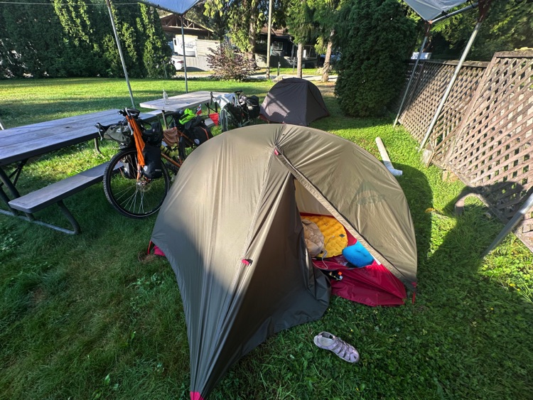
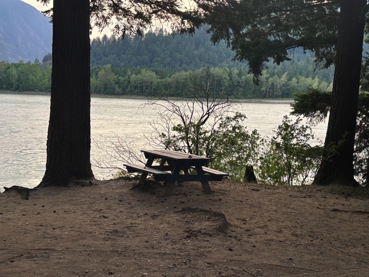
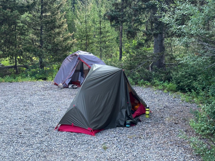
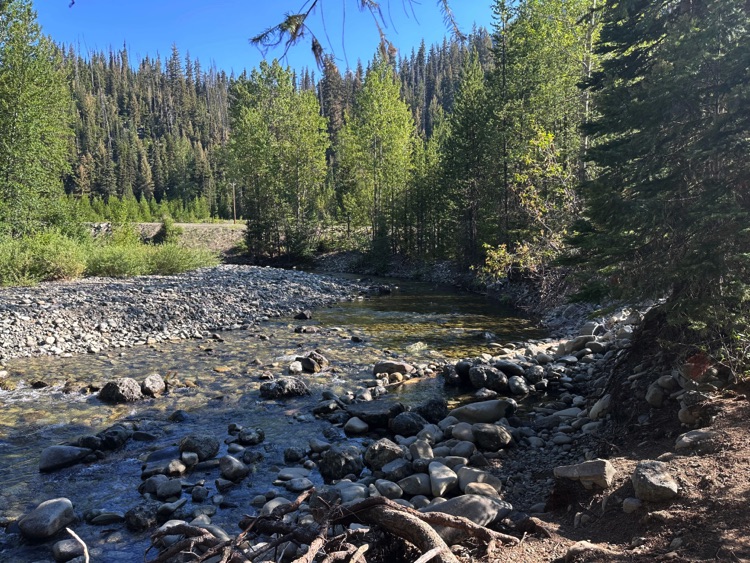
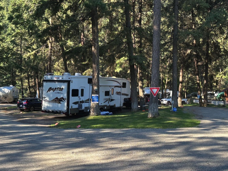
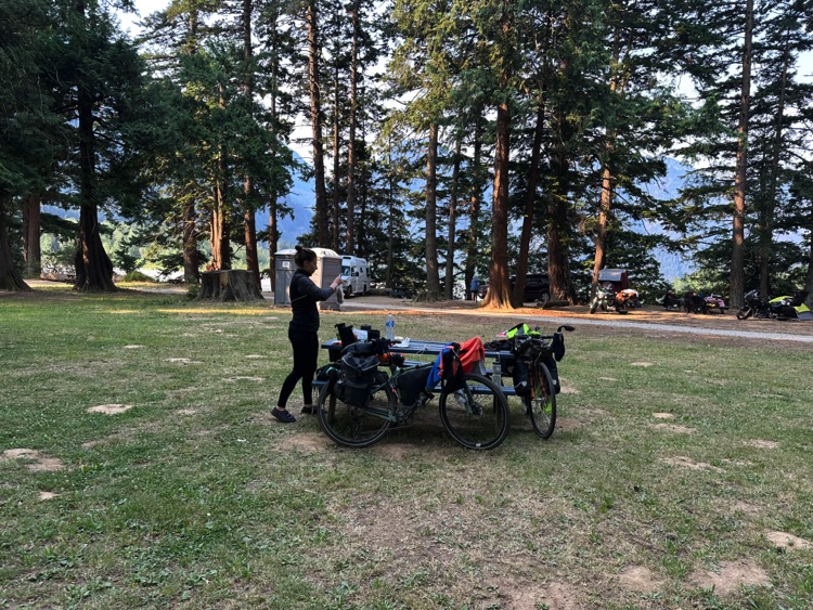
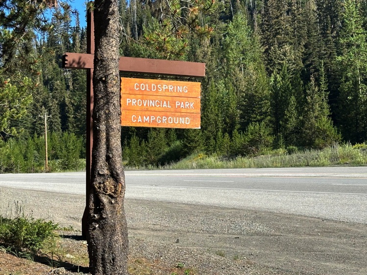
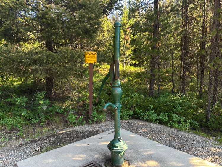
We reach Coldspring Provincial Park Campground, the westernmost of the park’s four campsites. The site opens widely among trees and vegetation, with pitches near the Similkameen River. Amenities are basic: pit toilets and well water, with no cell service. Here we set up our tents in a secluded pitch, surrounded by trees, immersed in tranquility and direct contact with nature.
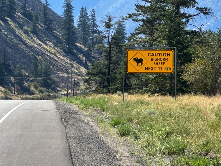
Wildlife is discreet but present: curious chipmunks between the pitches and other forest animals, with the black bear an integral part of the territory, even if unseen, its presence felt among the trees. A simple, quiet night in the heart of an environment that demands respect and mindfulness.
Day 5 | From Sunday Summit to the Similkameen Valley, on to Princeton
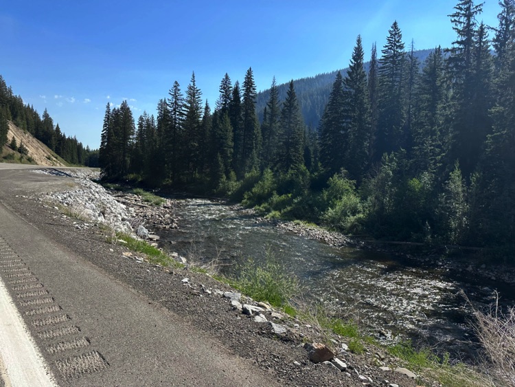
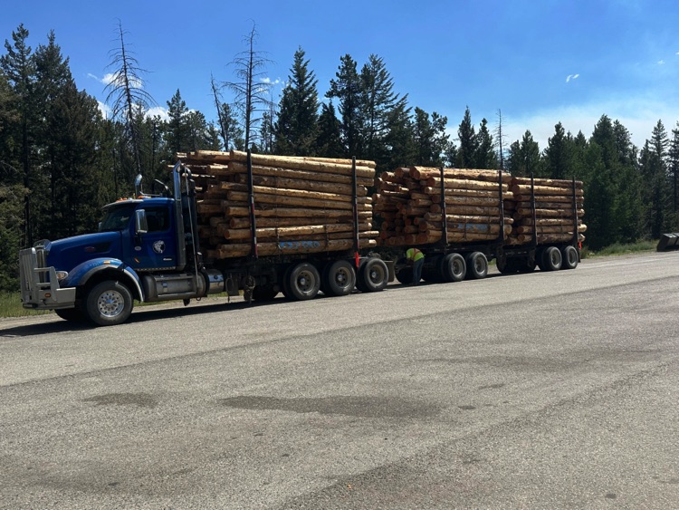
From Coldspring Campground, nestled among conifers and quiet campsites along the Similkameen River, we set off again along Highway 3, crossing the heart of Manning Provincial Park.
The road climbs steadily in the early morning light, skirting small alpine lakes and dense evergreen forests, while the air carries the scent of resin and the park slowly awakens to the subtle sounds of wildlife.
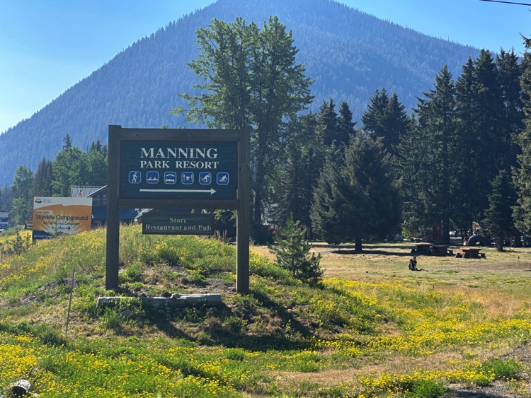
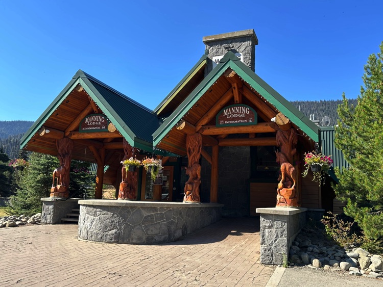
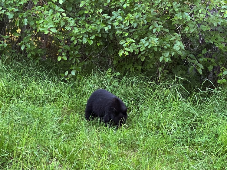
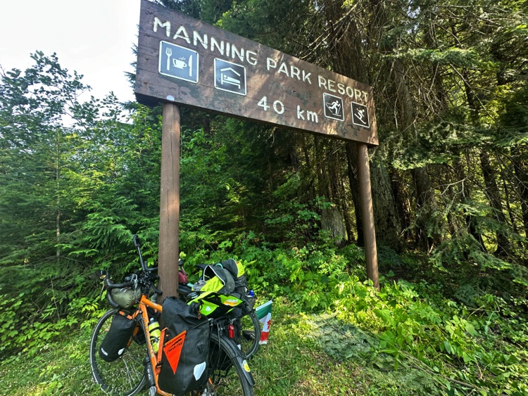
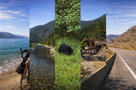
Near Manning Park Resort, the last human outpost before the pass, nature reveals itself in a quiet, unforgettable moment: a black bear grazing calmly on the roadside, focused on the fresh grass. We observe from a respectful distance, the scene unfolding in silence a powerful reminder that this landscape remains truly wild.
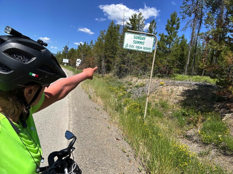
The road continues toward Sunday Summit (1,282 m), a scenic gateway between the slopes of the Cascade Mountains, where the view opens onto the final alpine ridges before the landscape begins to change.
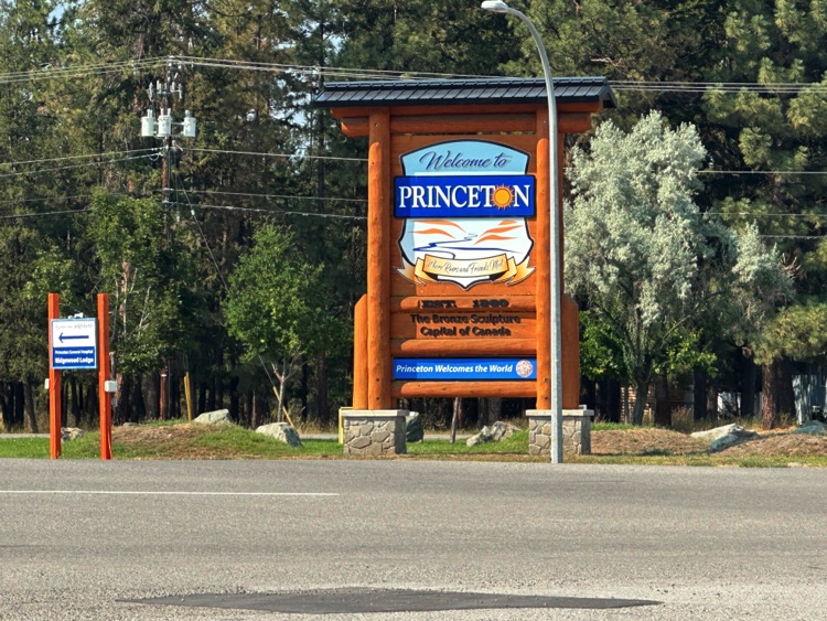
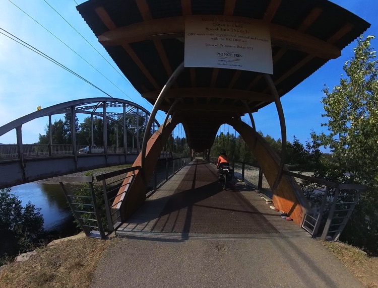
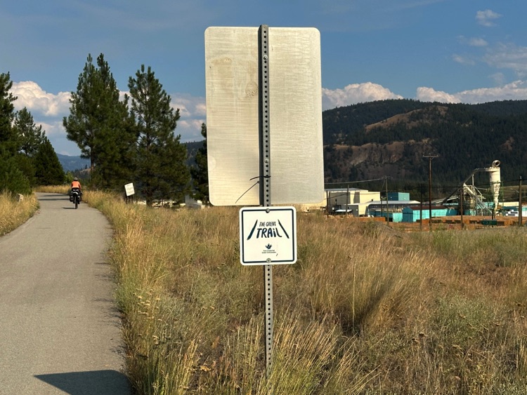
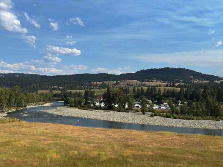
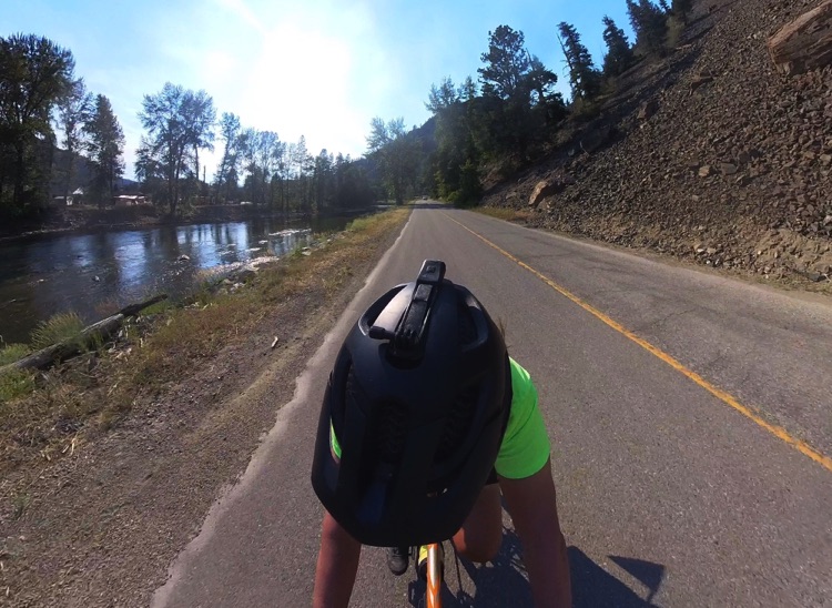
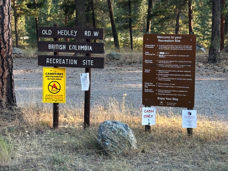
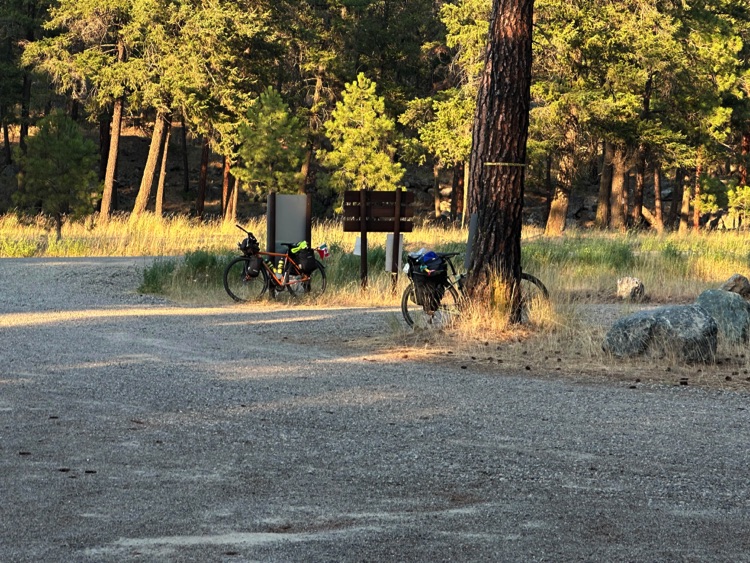
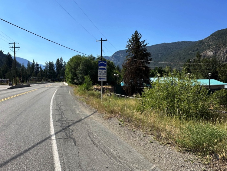
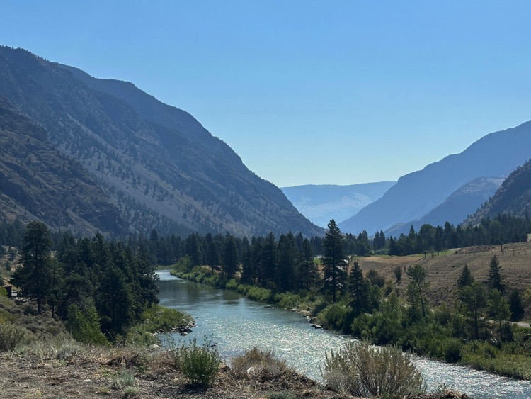
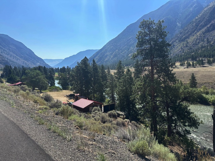
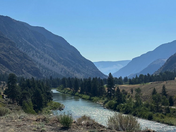
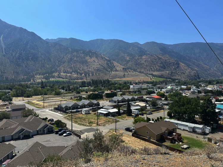
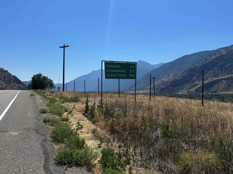
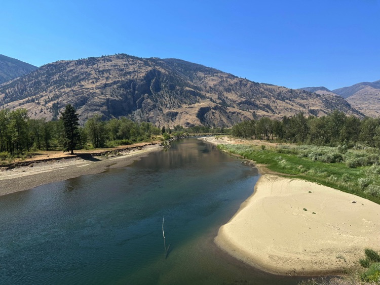
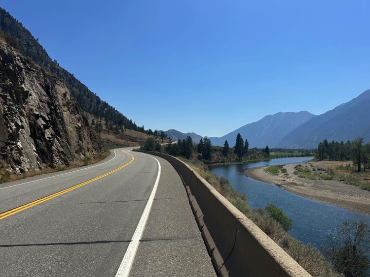
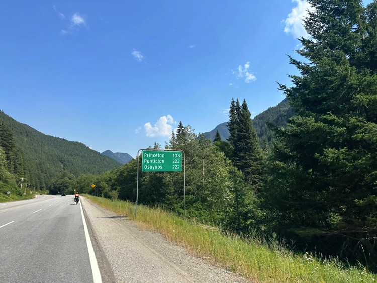
The long descent gradually introduces the Similkameen Valley. Forests thin out, giving way to rolling hills, cultivated fields, and open pastureland, while the Similkameen River traces a green corridor through increasingly arid terrain. Just before Princeton, we turn onto Old Hedley Road West, a quiet historic road running parallel to the river.
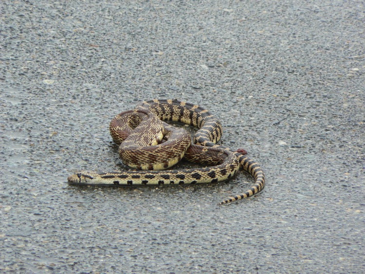
Along this stretch, we come across the remains of a Western Rattlesnake, a subtle yet eloquent sign of the valley’s rich wildlife and the delicate balance between nature and human infrastructure.
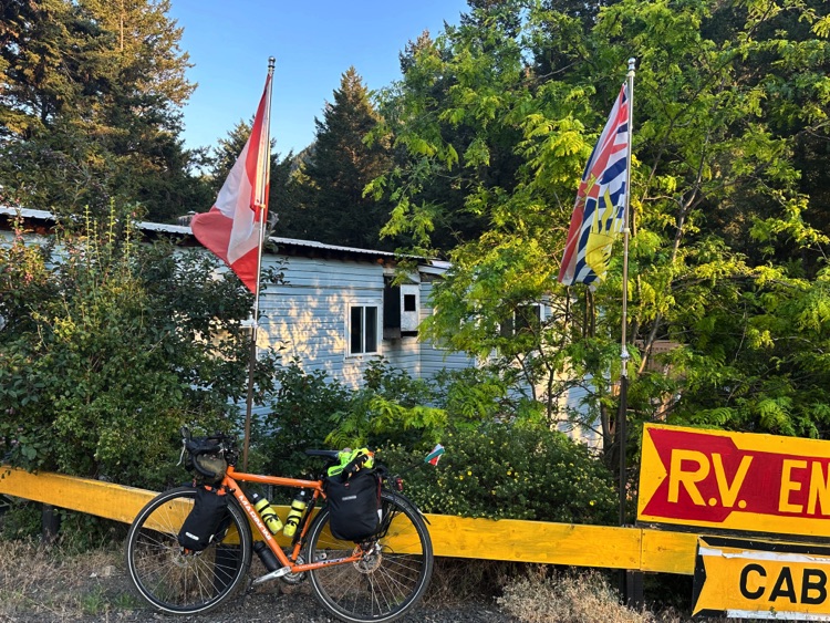
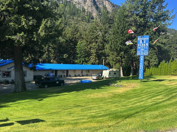
We continue on to Riverhaven RV Park and Motel, located about 3–4 km from the town of Hedley. Neatly arranged sites, a relaxed atmosphere, and small comforts make for a welcome stop after a long day on the road. The surrounding dry hillsides support discreet wildlife, further reflecting the raw and authentic character of the valley.
The landscape now tells the story of a transition from alpine mountains to the drier interior of British Columbia. The day ends quietly, with the mountains behind us and our thoughts already turning toward the next stage, bound for Osoyoos.
Day 6 | From the Similkameen Valley to Osoyoos – The Okanagan Valley and the End of the Journey
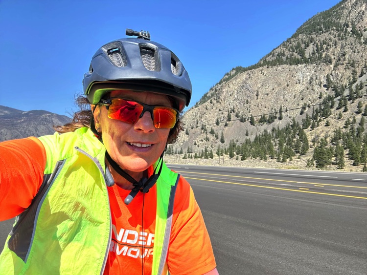
We leave the Riverhaven RV Park and Motel at first light, when the Similkameen Valley is still wrapped in a warm, delicate silence. The air feels different from the previous days: drier, brighter. The landscape gradually opens, signaling entry into a new territory.
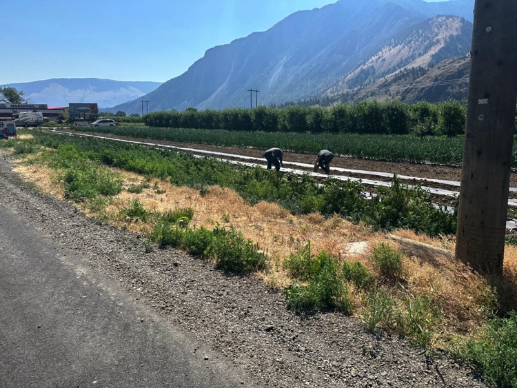
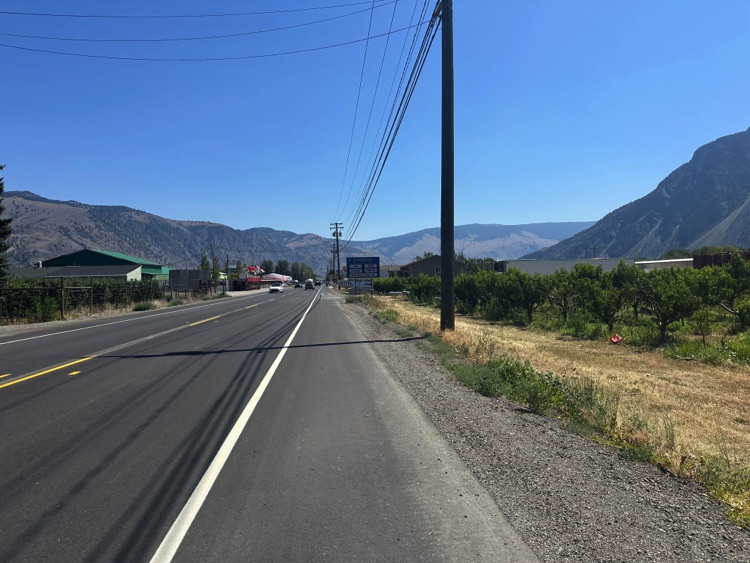
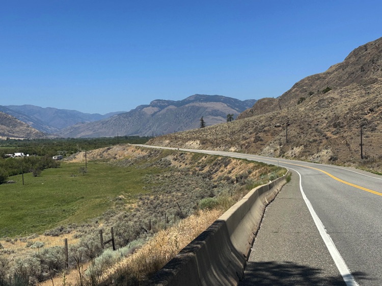
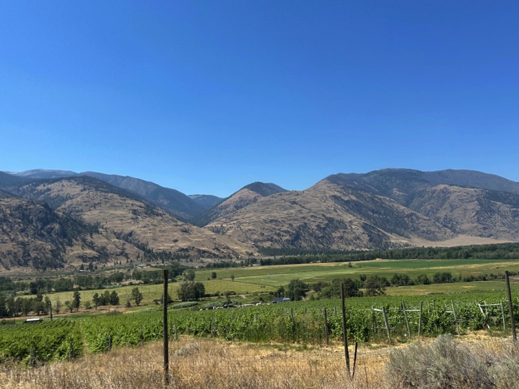
The Crowsnest Highway (Highway 3) follows the course of the Similkameen River, tracing a gentle line through low mountains and agricultural land. Farmlands, orchards, and vineyards create a rural mosaic accompanying the ride.
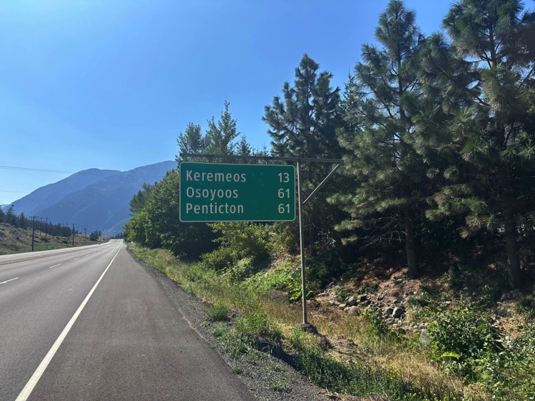
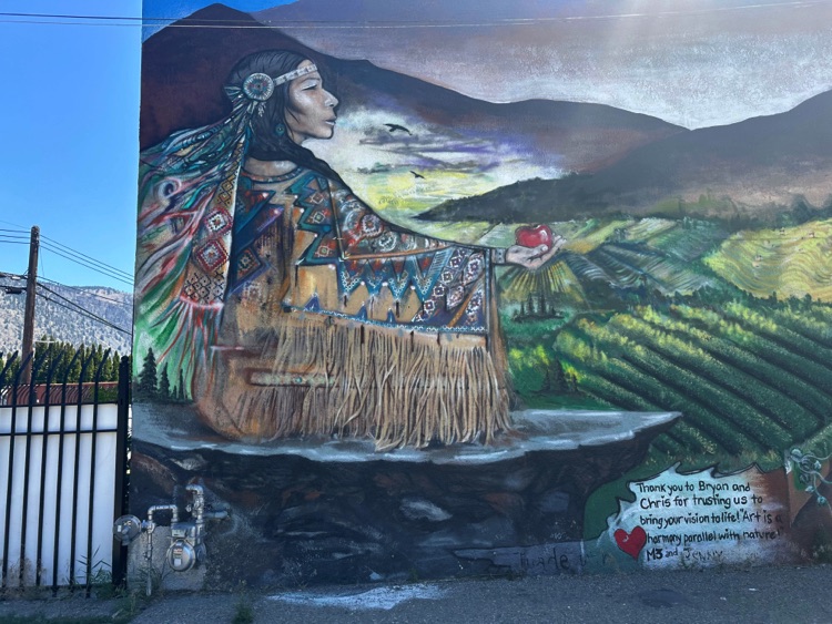
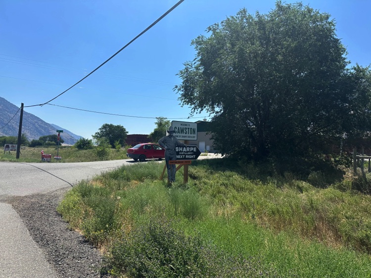
Along this stretch, small farming communities such as Cawston and Keremeos appear, discreet but vital points in a valley that thrives on earth, water, and sun.
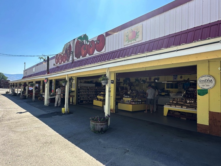
In Keremeos, we stop at a local fruit stand, a simple wooden structure beside the road. Fresh fruit, water, and a brief pause under the already intense sun: simple gestures that mark the rhythm of the journey. The heat is noticeable, yet the road continues to offer wide views of rolling hills, vineyards, and cultivated fields, where the sunlight creates strong contrasts and saturated colors.
Heading further east, the valley widens even more. Forests give way to drier slopes and vineyards, and the sky remains clear and dominant. Keremeos and Osoyoos are both located in the Okanagan Valley, in the Thompson Okanagan region, one of the hottest and driest areas of British Columbia.
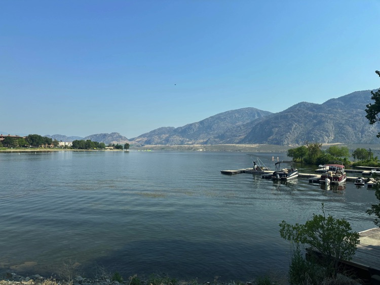
During the final descent, the landscape changes suddenly. Despite the presence of wildfires in the region, the route remains clear, though the sky is slightly hazy, and the air carries a distant scent of smoke. Then, suddenly, Osoyoos Lakeemerges from above like a mirage: turquoise and still, nestled among golden hills, cultivated fields, and vineyards.
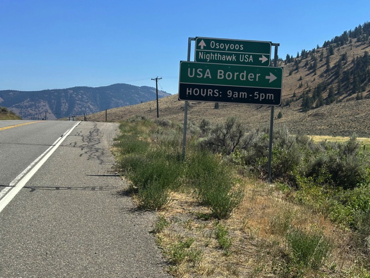
The road gently descends toward the town. Osoyoos, a beautiful lakefront town, sits at the southern end of the Okanagan Valley, just north of the Canada–USA border. It is a place that surprises with its climate, light, colors, and vineyards, evoking atmospheres reminiscent of the south.
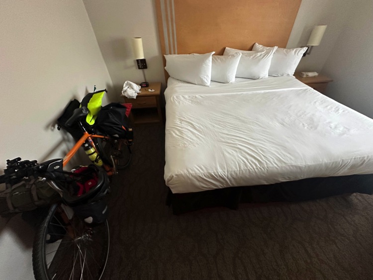
After days spent among forests, mountain passes, river valleys, and vineyards, the arrival at the Coast Osoyoos Beach Hotel feels like a natural conclusion, overlooking the water and silence.
The following day, as the journey continues in other forms, the memory of this crossing remains: from the ocean to the mountains, to the semi-desert, and to the warmest lake in Canada, following the gentle rhythm of the road and the ever-changing landscape.
Connection with the Land and Return to Vancouver
From Vancouver to Osoyoos, each stage of the journey was a continuous dialogue with nature: flowing rivers, mountains standing silently, lush forests, and valleys shaped by time. It was not just about kilometers traveled or physical effort, but about a deep listening to the land. Every curve, every bridge, every stream became an invitation to slow down and observe.
Encounters with wildlife made this dialogue even more authentic: discreet but powerful presences, signs of a living, untamed environment. The bicycle thus became a tool of connection, capable of revealing ancient stories and ever-changing landscapes, leaving a lasting impression of freedom, light, and silence.
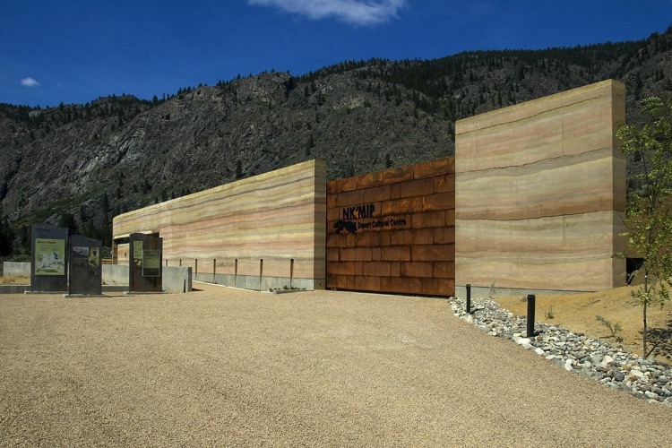
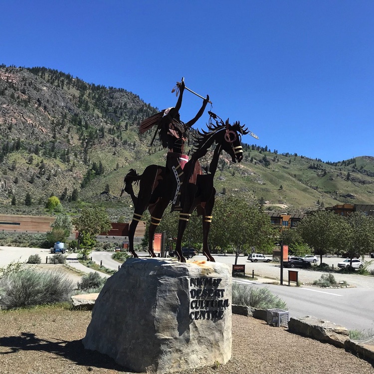
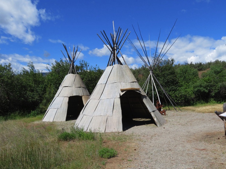
The following day, after loading the bike into the car, I took time to visit the Nk’Mip Desert Culture Centre, an interpretive center in Osoyoos dedicated to the culture, history, and desert ecosystem of the Okanagan people. Walking along the trails and exploring the exhibition spaces offered a deeper understanding of the land just crossed, highlighting its fragile balance and the millennia-long relationship between humans and the environment.
Afterwards, I began the return to Vancouver, while the journey continued in my mind. The curves of the road, the toughest climbs, the golden reflections of sunlight on the hills, and the constant murmur of rivers flowed before my eyes like a silent film. My travel companion continued on her path, while I carried every detail of the route with me.
Every pedal stroke had turned into memory: the wind on my face, the shifting light throughout the day, the silence of the woods, the song of birds. The presence of authentic nature completed the experience.
And as Vancouver drew nearer, the awareness was clear: it was not just the kilometers traveled that mattered, but the intimate connection forged with the land a lasting memory made of ocean, rivers, mountains, wildlife, and semi-desert landscapes, destined to remain long after the journey’s end.